This work was done in collaboration with Safe Software partner Veremes.
FME Presents: Your data at work.
For more than 30 years, this data team has asked the big questions, solved tough challenges, and sparked new ideas, proving they can do it all.
Meet Your Data Team
This work was done in collaboration with Safe Software partner Veremes.
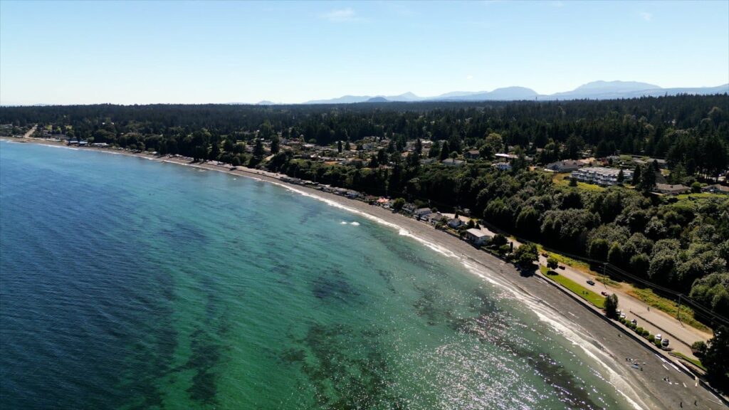
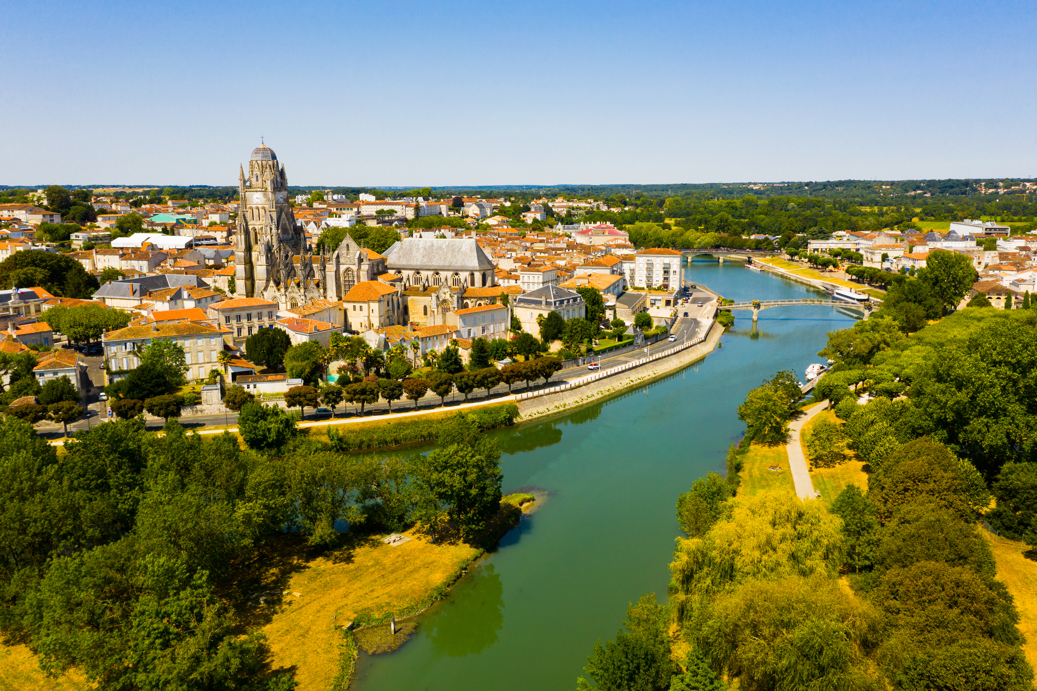
Each year, Eau 17 receives more than 200 km of topographic maps for quality control and integration into various databases. Eau 17 needed to optimize pre-integration quality control operations by automating and improving their existing process.
Their old procedure involved time-consuming manual labour with geometers sending in maps to Eau 17 agents who checked the quality and “reconciled” them with already integrated maps. This pre-integration quality control procedure was outdated and time-consuming, taking about 2.5 hours per map.
Their goal was to implement a tool compatible with a web map for data control, while automating the process to save time for surveyors. Submitted maps also had to be in a new format: shapefiles.
To meet these needs, Eau 17 used FME alongside a web mapping solution, X’Map.
With FME, users can now use X’map to directly upload quality controlled shapefiles to their server automatically in a drastically shorter amount of time.
FME checks the attributes and value domains of a layer, the structure and geometry types, and whether the type of geometry in the layer is a line, surface, or other format of the submitted shapefiles. Once validated, the project goes into its final phase of database integration with a web map using the FME Flow API.
This operation made it possible for Eau 17 to deliver real-time control and integration while reducing the number of actors and interventions. The operation has become significantly less time-consuming, with the time required for each map processing taking a fifth of its original time. FME also provides a more intuitive and responsive overall process.
The work done by Eau 17 was done in partnership with Veremes.