Irish Mapping and GIS Solutions Ltd (IMGS)
- Dublin, Ireland (Republic of Ireland)
At IMGS we offer a wide range of on-site, hosted and virtual training courses. Our training programmes range from pre-configured courses that have been carefully designed, to custom courses which we tailor specifically for your organisation. All of our highly skilled trainers have been certified by our partners to ensure you receive the highest quality of learning.
View Partner TrainingOur location webinar archive library, offers in-depth insights on a wide variety of GIS topics.
View Partner WebinarsIMGS – Who we are and what we do!
Partner Highlights And News

NI Water saves 1678+ hours annually with intelligent robotic process automation and FME

NBI uses FME to deliver high-speed broadband across rural Ireland

Enet's digital transformation: streamlining network routing with automated solutions

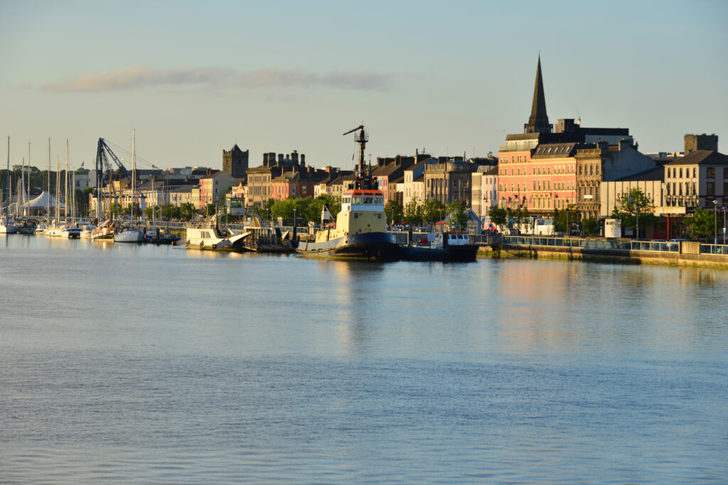
Waterford City & County Council enhances community response with FME-powered CRM map

IMGS delivers innovative FME enterprise web applications for Dublin City Council

Waterford City & County Council uses aerial mapping to boost tree coverage


