San Bernardino County launches Offender Mapping Project to elevate probation operations


FME is the #1 choice for counties
San Bernardino County, the largest county in the United States, offers a broad array of services through its various departments. The Innovation and Technology Department (ITD), operating across the county’s extensive enterprise GIS, is committed to enhancing departmental functionalities and improving public service through advanced technological solutions.
The ITD strategically chose FME as their core tool for ETL processes to facilitate seamless data integration across platforms. FME’s compatibility with the Esri environment was a decisive factor, enabling non-developers within the department to directly modify and manage data workflows. The team has significantly streamlined data movement processes and boosted efficiency and interdepartmental support within two years of implementation.
The Offender Mapping Project to enhance officer’s day-to-day lives
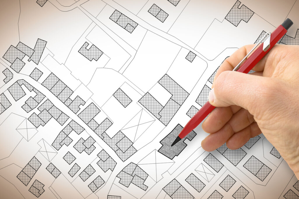
A pivotal FME initiative is the Offender Mapping Project, born from a request by the Probation department. This project aimed to transition a static report view to a dynamic, GIS-based map visualization of workloads for frontline Probation Officers. By leveraging FME, the ITD and Probation teams collaborated to revitalize an older case management system, enabling nightly data refreshes and comprehensive visualizations of offender locations and other critical data. This enhanced approach allows officers to efficiently plan and prioritize their visits and duties, saving significant time previously spent on manual data entry and navigation between different tools.
From the ITD’s end, the project takes a SQL query view provided by the Probation department and is processed into ArcGIS Online. All this crucial information flows into FME, is posted in their GIS, and is consumed in the mapping environment. The Probation department has introduced the map to beta testers, just scratching the surface of officer time savings. During the testing period, the Probation team saved over an hour of time per officer daily when searching for offenders, which will help the department meet critical court-mandated timelines more easily. The tool will eventually be expanded to all officers.
Operational time savings for Probation and future vision
The near real-time automation saves hours of manual labour and replaces the need for a full-time Probation position to manage data upload tasks manually, allowing the staff member to focus on value-adding work. Looking ahead, San Bernardino County plans to expand their use of FME to include more projects like automation of parcel updating to ArcGIS Online. They have also created Python scripts that integrate with ArcGIS, and their goal is to replace this process with FME to prevent data loss and enhance data backup processes, especially given the sensitive nature of the data involved.
The ITD’s innovative implementation of FME has led to significant improvements in data accuracy and operational speed, enabling them to address challenges such as address verification failures more effectively. Standardizing their processes using FME has eliminated reliance on audits and facilitated quicker address error identification and automated updates to their system.
Expanding FME’s impact across the enterprise
The flexibility and repeatability facilitated by FME has not only benefited the ITD and Probation department but has also laid the groundwork for extending these benefits to other county departments like Land Use Services, the County Fire Department, and County Sheriffs. This adaptability ensures that San Bernardino County can continue to expand its GIS capabilities to enhance service delivery and inter-departmental cooperation.
The ITD plans to continue pushing their Enterprise GIS layers to their on-premise portal and ArcGIS Online to support users across the county and residents. The Probation department aims to develop additional applications using administrative statistics and expand the Offender Mapping Project to partner with local law enforcement agencies and better serve clients by connecting them with local resources.
San Bernardino County’s projects exemplify how FME integration is leading the way for more agile, efficient, and effective county operations.


 Legacy Data is traditional and values the wisdom of the past. He’s the go-to for office lore and frequently reminisces about ‘the early days’. His fax number is still operational and his office shelves are filled with paper files, plus a floppy disk or two (or twenty). Find him by the water cooler solving a Rubik’s cube or recollecting on how things used to be done. Just don’t ask him to download your pdf or move to the cloud.