This story was made in collaboration with Plains Midstream (Plains) Canada
![]()
Transforming pipeline management with FME
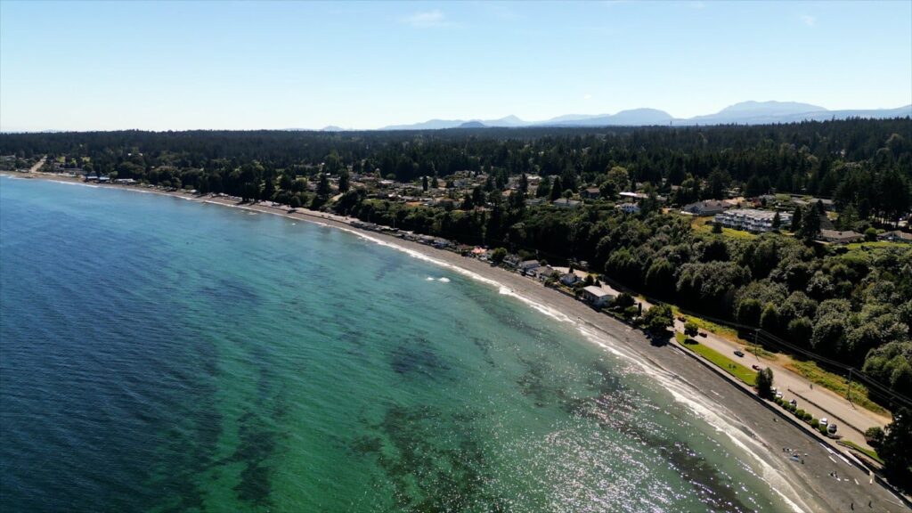
Plains Midstream (Plains), a leading energy company with a vast network of pipelines across North America, relies on FME for critical tasks in pipeline safety, real-time data integration, and operational efficiency.
With over a decade of experience using FME at Plains, Patrick Cheng, a GIS Analyst, has leveraged the no-code platform for multiple solutions, from wildfire monitoring to optimizing trucking logistics. FME has replaced the need for coding in Patrick’s toolkit: “Time and time again, I fall back to FME because it’s so much simpler.”
“We use FME for every kind of task. We’ve been using FME Flow for real-time data, whether it’s our pipeline flow data or trucking data.”
Plains’ multifaceted use of FME
Standardizing data for pipeline safety
Monitoring pipeline health is a key priority for the Plains team. Every year, high-definition data from vendors is received to perform temporal pipeline analyses, including AC/DC Electrical (ACVG), Sonar, Caliper, and IMU Data. The data is standardized into unified datasets year-over-year to provide a comprehensive view of required repairs and of the overall condition of the pipelines. With this standardization, the team can trust their data and confidently make informed decisions, regardless of its original source.
“One of the key things for using FME has been ETLs: however simple they are, they have been lifesavers. It really helps us transfer our vendor data to our standardized databases in a way that we’re happy with. Whoever does it, we can just pass them the workbench and know that [the] data is going to be right,” says Patrick Cheng.
Using FME to overlay and standardize data has significantly enhanced pipeline monitoring efficiency. Previously, engineers would manually review multiple spreadsheets to compare segments of pipeline, consuming resources and increasing their susceptibility to errors. By overlaying data on a GIS platform, Plains can now visualize and approach pipeline safety more holistically.
Monitoring wildfires with FME
As an enduring concern in their operating footprint, Plains uses FME to monitor nearby wildfires and alert impacted stakeholders of active threats. An FME workflow scrapes provincial wildfire databases across British Columbia, Alberta, Saskatchewan, Manitoba, and Ontario to identify and understand the status of surrounding wildfires on an hourly basis. CRC code is inserted into a database, determining the status of new, updated, and archived fires. Through proximity testing, the team can then determine where and if fires are near Plains’ assets. If a threat is detected, an alert email is sent to the appropriate district, guaranteeing relevant and timely communication with field staff.
Previously, Plains faced the critical challenge of monitoring critical infrastructure across provinces. If any system across Plains’ operating footprint failed, the team would unknowingly be operating in the dark, risking the possibility of missing key wildfire alerts. To prevent critical infrastructure failures, Plains implemented backstops on their servers to continuously observe the performance of their scripts. Implementing FME has been essential in maintaining smooth operations. As noted by Patrick, “It’s almost like having a set of eyes on our servers 24 hours without having someone literally staring at it.”
One Call data for up-to-date responses
FME is essential for managing One Call data at Plains, ensuring high-definition pipeline data is gathered to enhance safety and prevent damage to pipeline systems. Plains manages evolving pipeline details, accurately reflecting changes due to repairs, diversions, or replacements. By integrating FME with One Call Processes across their operating footprint in Canada, Plains ensures One Call Boundaries are consistently updated with the latest pipeline information.
This data management process maintains up-to-date records to prevent unnecessary One Call responses and saves costs of up to $10,000 for each unnecessary ticket. When a landowner or contractor submits a Call Before You Dig request, Plains can correctly act on their data insights, reducing risks and avoiding unnecessary site visits.
Driving operational efficiency with real-time trucking data
Described as the ‘Uber for Trucking’ project, Plains improves efficiency by ensuring that trucks are fully utilized and operating at maximum capacity. JSON-based GPS updates are received every ten minutes, which are then processed in a single workbench with FME Flow. This approach eliminates the need for multiple workbenches. The data points are stored in Azure Data Lake, where FME utilizes the data to ensure it is readily accessible and available for data sharing. With real-time trucking data, the team can make informed decisions about site pickups and recalls.
Using Esri’s Experience Builder, trucking data is visualized on a map, providing insights into each truck’s origin points and truck availability. These insights allow drivers to be rerouted to pick up additional loads when possible.
Increasing efficiency and saving team resources
FME empowers Plains to operate more efficiently, reducing time-intensive processes and conserving resources for strategic priorities across a number of initiatives:
- FME Flow Apps as a Self-Serve Portal: Using Flow Apps to provide a self-serve portal saves time for both GIS analysts and engineers by streamlining access to custom reports. Through a link, engineers can easily retrieve reports from select repositories without needing technical expertise or GIS analyst support.
- Creation of GPX Files: In compliance with regulations, pipelines must be cleared of vegetation, prompting GIS Analysts to create GPX files for field staff during brushing projects. By transferring data to a Garmin GPS, field staff are informed of the exact location to brush, increasing operational efficiency and reducing survey costs that were traditionally upwards of $60,000/yr.
- FME for Hydraulic Modeling: By using FME to automate the modelling process, Plains now creates hydraulic models in just 15 minutes–a fraction of the time required using manual methods. This efficiency has led to significant cost savings and resource optimization, redirecting a full head count to other high-value projects.
Imagining new approaches with FME
New opportunities to use FME are continuously imagined at Plains, as the team looks to create a 3D digital twin using drone imagery from their facilities. By bringing location data into a 3D environment, team engineers could avoid unnecessary trips to remote locations.
While still exploring ways to integrate generative AI into their workflows, Patrick and his team have already seen tangible benefits from using FME AI Assist. Searching for new ways to operate efficiently, FME AI Assist is leveraged to create GeoJSON. Once built out, the GeoJSON is immediately spatialized, validated, and sent, offering new ways to bring value to the team. Additionally, the team has used FME alongside OpenAI to demonstrate its value beyond ChatGPT. By integrating FME with OpenAI, the team can execute multiple iterative tasks simultaneously, saving and processing responses together, which streamlines data handling and reduces manual effort.
A key tool in Plains’ Canadian offices, Patrick continues to share FME’s value with the team’s American counterparts, who have historically relied on Python and SQL: “[I explain how] you don’t need to fully integrate or learn FME, but you can use FME as a tool to extend yourself.”
FME is an essential solution at Plains Midstream, driving efficiency across various projects and bringing innovative approaches to data management. From enhancing pipeline safety to exploring creative uses to leverage real-time data, FME is at the core of their success, helping them save time, reduce costs, and improve safety.