

Safe Software Named a 2025 Customers’ Choice in Gartner Peer Insights
Safe Software Product Blog
Discover insights on FME products including trends, technical tips and tricks, and use cases. Explore how geospatial technologies and automation are shaping the world around us.

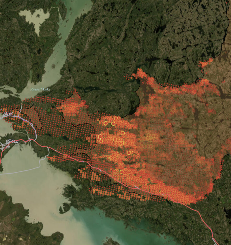
7 ways emergency services can improve operations using data integration

Getting started with cloud-native geospatial data formats

A 5-step cartography guide by Red Geographics

How to remove data silos and information silos for good

Pair Snowflake & FME for accessible Geospatial data
Community special: FME apps & ArcGIS maps

5 reasons to use web apps in your organization
The 6 steps of data wrangling
Using CityGML to work with large-scale 3D data

5 ways to be data-driven by adding spatial data

Learn how to maximize your data and minimize your efforts with FME.
Join our free and interactive workshop to learn how to make the most use out of your data with FME. The FME Accelerator will show you the basics of how to automate your data integration workflows and connect to 450+ formats.
Questions about the platform?
Find the sales information and answers you need to continue your data integration journey.
Pricing, with a difference.
Long-term partnerships over short-term profit. Learn how we can deliver unrivaled value to you.
Join the FME Community
Connect with over 20,000 active members worldwide and tap into a wealth of FME knowledge.
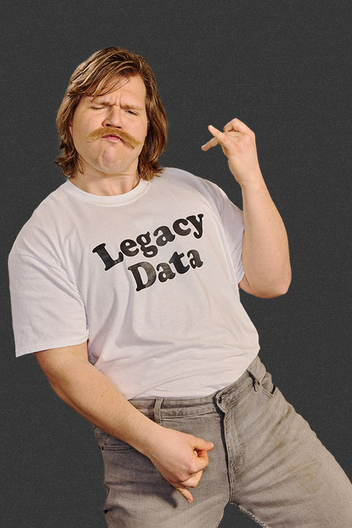 Legacy Data is traditional and values the wisdom of the past. He’s the go-to for office lore and frequently reminisces about ‘the early days’. His fax number is still operational and his office shelves are filled with paper files, plus a floppy disk or two (or twenty). Find him by the water cooler solving a Rubik’s cube or recollecting on how things used to be done. Just don’t ask him to download your pdf or move to the cloud.