Supporting a mission that spans countries
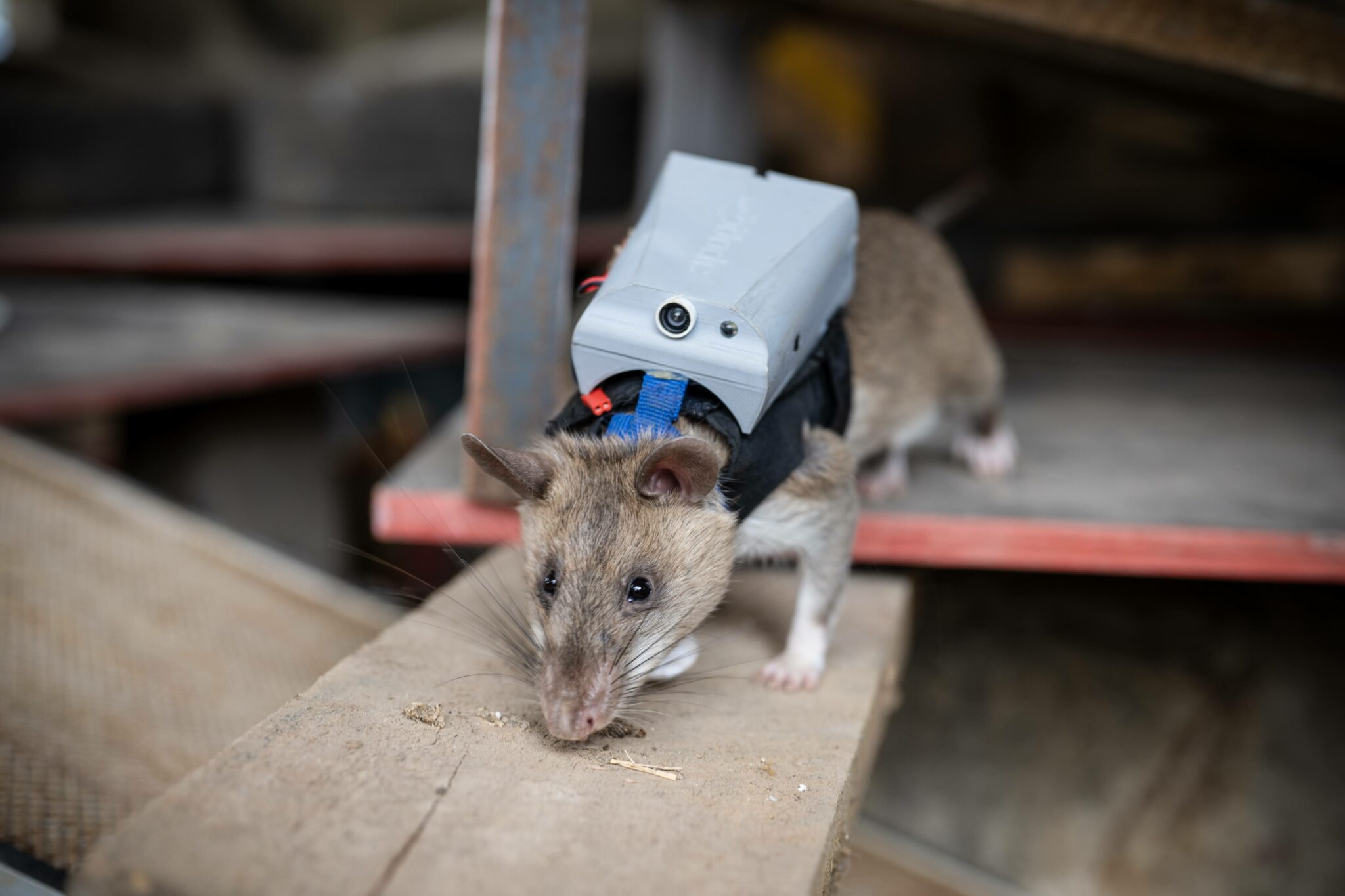
For APOPO, animal scent detection supports work ranging from finding landmines to screening tuberculosis samples. Rats and dogs work alongside teams across its humanitarian programs, while information management staff connect the data behind those activities.
Training records, laboratory results and field information all need to support operational decisions. That information also needs to reach national authorities, donors and partners, each with their own reporting requirements.
To bring its programs together, APOPO has invested in LIMIS (Location Intelligence Management Information System), its centralized data infrastructure. Built around Esri, LIMIS provides a common platform for collecting, managing, analyzing and reporting operational data.
The team has established a standardized data structure across its country programs, from Mine Detection Dogs to Rescue Rats. Now in its second year of support through Safe Software’s FME Grant Program, APOPO uses FME to migrate historical records, connect systems and transform information within that common framework.
Bringing historical data into the picture
For APOPO’s Mine Detection Rat training and tuberculosis programs, moving into Esri meant bringing years of information out of Microsoft Access.
The work involved more than transferring tables. The team documented laboratory processes, developed new workflows and mapped historical data to the new system. FME helped move and structure those records within the Esri environment.
Using FME, APOPO migrated 314,040 Mine Detection Rat training records and approximately one million tuberculosis records from Access into Esri. The team also used the VertexCreator transformer to create 135,145 spatial point features for the rat-training data.
FME continues to support the work after migration. For Mine Detection Rat training, recurring workflows support approximately 1,000 rat-performance record corrections each week in PostgreSQL. Information moves between Esri and PostgreSQL so performance calculations can be completed and the results transferred back.
In the tuberculosis program, monthly rat-performance workflows process approximately 80,000 records between Esri and PostgreSQL. These recurring exchanges are separate from the more than 1.3 million legacy records already migrated.
Preparing one source for many reporting needs
Bringing information into a common structure is one part of the challenge. Sharing it outside APOPO introduces another.
National authorities, donors and partners need information in different schemas, classifications, reporting templates and file formats. Even when the underlying data is the same, staff may need to extract and reorganize it for each recipient.
APOPO plans to use FME as the integration layer between its standardized operational database and those external requirements. The aim is to maintain a single validated source, apply the transformations each recipient needs and distribute the outputs through APIs, database transfers and multiple file formats.
For mine action, planned workflows include direct reporting to national authorities and consolidating donor reporting datasets from the same operational database. Sensitive information, such as hazardous-area assessments, would go through validation and approval before submission.
Because country datasets already follow a common structure, the team can build toward reusable integrations while accommodating national reporting requirements. The objective is to reduce repeated compilation and duplicate handling, giving staff more time for validation, analysis and operational support.
Building on a shared foundation
APOPO is also preparing to move from ArcGIS Online to ArcGIS Enterprise, with FME planned as its primary tool for extracting, transforming and loading data. The migration includes feature-layer data, file geodatabases and CSVs, with cleaning and mapping to its established schema.
The team currently uses FME Form for local migration and data workflows and has tested FME Flow ahead of a planned deployment on its Microsoft Azure infrastructure. Further applications include bringing automated cage data into Esri, updating Survey123 CSV choice lists and triggering Python scripts within automated workflows.
The goal is to grow its integration and reporting capacity without a proportional increase in manual processing. By collecting information once and reusing it across systems, the team is working toward more consistent data for operational decisions, national coordination and donor accountability.