The Community Mapping Network (CMN) helps communities map sensitive habitats and species distributions in British Columbia and across Canada. Its projects support bird researchers, resource and land use planners, and private well owners.
Through the FME Grant Program, CMN has used FME to automate volunteer route selection and data submissions, connect stream data and prepare water quality records. Across these projects, FME helps CMN prepare and bring together information from different sources.
Supporting volunteers during nightjar survey season
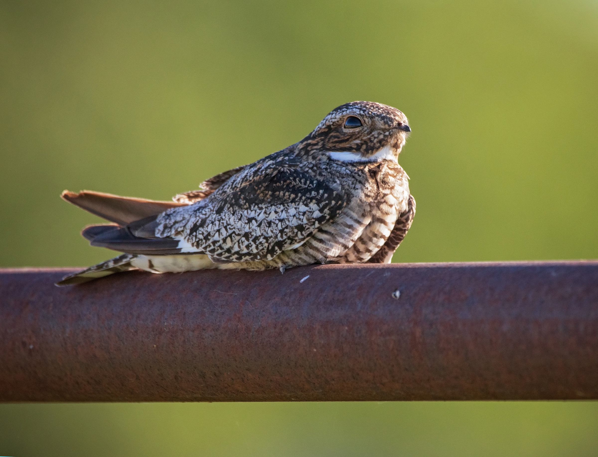
From mid-June to mid-July, volunteers survey routes across Canada for three understudied species: the Common Nighthawk, the Common Poorwill and the Eastern Whip-poor-will.
CMN built the Nightjar Atlas for the non-profit WildResearch. Using FME Form and FME Flow, CMN automated volunteer route selection and data submissions. FME also enabled volunteers to choose custom PDFs of their selected routes. With coordinators in each province promoting the survey, people from across the country contributed observations, and the data went to ornithology researchers studying nightjars.
At the time of Rob Knight’s presentation at the 2017 FME User Conference, more than 350 volunteers were contributing their observations online after completing surveys. In 2018 alone, 150 nightjar routes were surveyed.
In 2019, at the request of WildResearch’s project lead, the atlas was transferred to Birds Canada. CMN had used FME to show that a survey run by volunteers across Canada could work, and then handed it to the organization best placed to keep it going.
Building a connected stream network for the Yukon
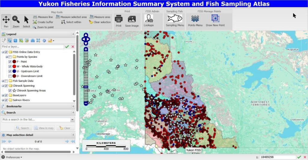
CMN also used FME Form to build a connected stream network for the entire Yukon. FME linked the stream features and connected point attributes from multiple sources, including Yukon FISS data.
With FME, CMN added 1,009,347 features to the Yukon Watershed Atlas and assigned them unique hierarchical watershed identifiers. The connected network supports resource and land use planners in the Yukon.
Before FME, linking spatial features into continuous stream networks had to be done by hand. CMN did not have the resources for the extensive manual data management needed for its Yukon FISS work. Rob says this work would not have been possible without FME.
CMN also used FME Flow to let authorized users download shapefiles from a SQL Server database containing Yukon watershed data.
Preparing water quality data for well owners
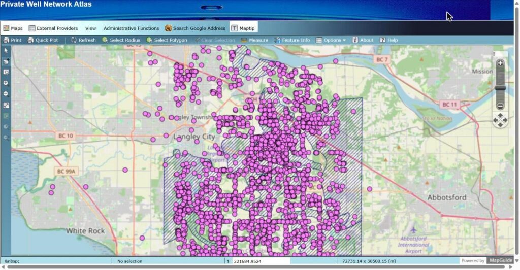
CMN also supports the Private Well Network, which serves private well owners in Langley, British Columbia. CMN uses FME Form to convert and clean water quality data held in Excel spreadsheets, extending its use of FME to another community mapping initiative.
To date, about 768 wells have been added to the Private Well Network with the help of FME.
Connecting data for community use
CMN works with bird observations from across Canada, stream networks in the Yukon and water quality records in Langley, all collected for different purposes and stored in different systems.
FME has helped CMN prepare and connect that information for its mapping projects, supporting the researchers, planners and well owners who benefit from its work. Access through the FME Grant Program has helped make projects possible that CMN could not have managed manually with its available resources, including Yukon FISS and the Private Well Network.
CMN plans to continue using FME Form for the Private Well Network and for future one-off projects like its Yukon FISS work.
Explore the FME Grant Program to learn how FME can support your work.