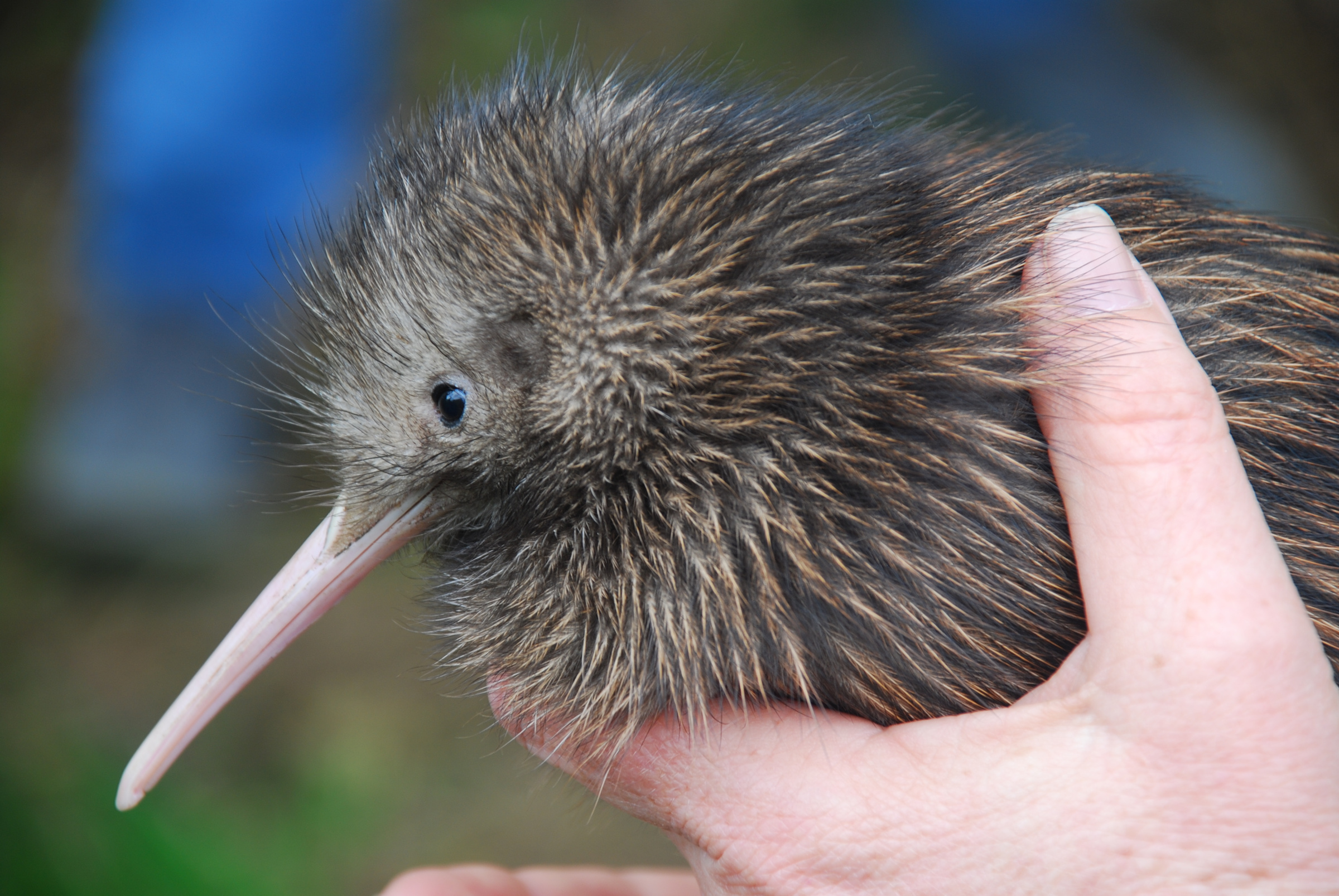
Te Korowai o Waiheke uses FME to combine trap-checking records from several groups into one dataset and, within minutes, show on a map which traps have just been checked. The automation saves an estimated 10 hours a week, giving analysts more time for the work of eradicating stoats from Waiheke Island.
Protecting native wildlife across an island
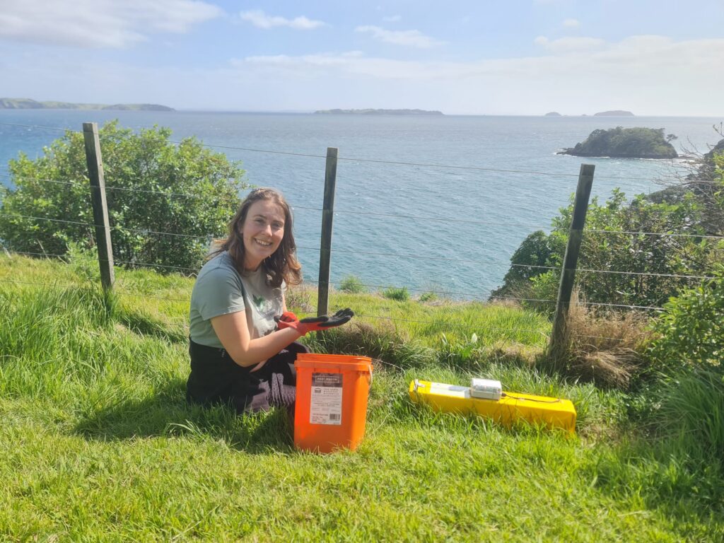
Te Korowai o Waiheke is a community-led charity with the goal of being the world’s first predator-free urban island, creating a haven for native wildlife. Stoats seriously damage native bird populations, so the organization has more than 1,800 traps across the island. Staff check each trap about every two weeks.
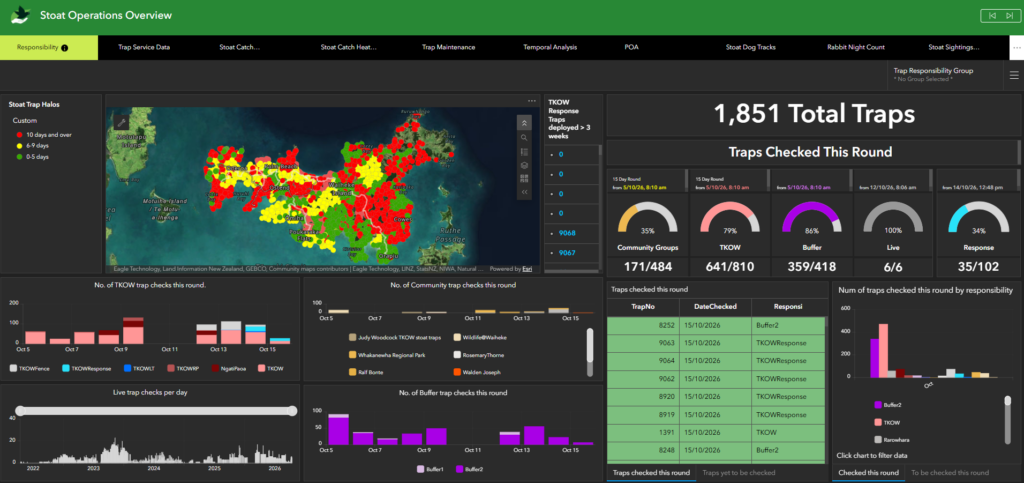
They record every check in ArcGIS Online: where the trap is, when it was checked, what was caught (if anything), which bait and lures were replaced, and who did the check. Dashboards show managers how many traps have been checked and whether checks are keeping up with the schedule.
Volunteers, contractors, farm staff, a community group and the Te Korowai o Waiheke field team are all involved in servicing traps across the island. Some of these groups use different mapping systems, and their records had to be combined with those in ArcGIS so the team could see which traps were checked on time. That meant staff had to manually upload spreadsheets from each group, which was time-consuming and led to errors.
Combining every group’s records automatically
Now, FME does that work. It connects directly to the other groups’ mapping systems, collects their trap records on a regular schedule, and adds them to Te Korowai o Waiheke’s main dataset in ArcGIS. Field staff and managers work from one up-to-date picture instead of waiting on spreadsheets.
The team also relies on FME for the heavy data processing behind its maps, because ArcGIS’s built-in tools weren’t reliable or fast enough. GIS Manager Brett Clews calls the day they set up FME Flow to bring in the outside data “fantastic.” It freed up analyst hours previously spent on routine tasks.
Red to green in five minutes
Every five minutes, an FME workflow running inside ArcGIS Pro looks for traps that have just been checked and changes their colour on the map from red to green. Field staff can see at a glance which traps still need a visit, plan their day, and avoid long walks to traps that have already been done.
More time for the work that matters
Clews estimates FME saves about 10 hours a week, though he says it’s hard to be exact. Time that used to go into combining records now goes into analysis that supports the eradication effort.