
Ignis Technologies
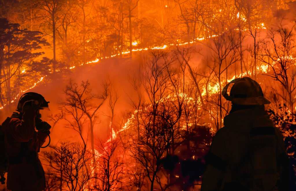
Ignis Technologies has developed a GPS Mapping App specifically for wildland firefighters. Their mission is to provide critical technology that reduces the loss of lives, properties, and natural habitats due to wildfires. They create mobile and web platforms that enhance situational awareness, facilitate communication in rapidly evolving environments, and offer real-time data for better wildfire management. Their platform is interoperable between federal, state, and local agencies, and includes offline data sharing and dynamic mapping capabilities, allowing firefighters to overlay multiple maps, visualize topography, and access weather forecasts directly from their devices
View Partner Website
Partner Type
Solution Provider
Location(s)
- Montana, USA
Partner Highlights And News

Ready to become an FME Partner?
Our Partners are the architects of change, leveraging FME to dismantle silos, connect disparate data, and deliver pioneering solutions that address real-world problems. Apply today.