This work was done in collaboration with Safe Software partner Locus.
![]()
FME Presents: Your data at work.
For more than 30 years, this data team has asked the big questions, solved tough challenges, and sparked new ideas, proving they can do it all.
Meet Your Data Team
This work was done in collaboration with Safe Software partner Locus.
![]()
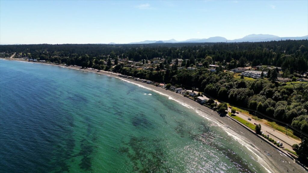
Human geography explores the interactions between human activities and the physical environment. The International Program for Human Geography (IPHG) leverages human geography data to tackle global challenges. It enhances disaster response and military planning through its Human Geography Baseline, examining demographics, language, ethnicity, economy, organizations, and religion. Managing this data presented unique challenges for the New Zealand Defence Force (NZDF), as it was a critical project for humanitarian assistance and disaster relief (HADR).
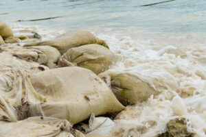
Data was sourced by the NZDF from multiple local and international providers. Government agencies provided trusted data sources, while open-source platforms provided less reliable data that required validation. The urgency of HADR events, including cyclone responses, demanded rapid and accurate assessment of human geography data to inform effective decision-making.
Custom-built FME workbenches were connected to data providers, powering real-time data integration during urgent HADR events. Using an FME transformer, the NZDF mapped census data from the Samoa Bureau of Statistics and boundaries from the Pacific Data Hub into the IPHG schema. FME facilitated visual checks and automated validation, which compared demographic totals to ensure data integrity and accuracy. Regional boundaries were then combined with census attributes, resulting in comprehensive and reliable datasets.
The introduction of FME significantly improved NZDF’s data management practices. Previously, data processing and downloading would take a few days. This process is now down to just hours. Standardized and interoperable data enhances information sharing, supports planning and host nation coordination, and provides support for first responders.
During HADR events, rapid data integration and validation helped NZDF to deliver timely and informed decision-making, which is crucial for accurate damage assessments and effective resource allocation. The data also supports other government agencies assisting in HADR events.
FME also enhanced strategic planning and analysis using demographic data, enabling the NZDF to address long-term challenges such as sea level rise and ensuring comprehensive contingency planning and readiness.