OneFortyOne upgrades lightning strike mapping process for forest fire prevention
With FME automation, OneFortyOne has transformed their response to fire threats, reducing processing time from a day to mere seconds, while ensuring stakeholders receive crucial information swiftly.
The challenge of wildfires and a need for efficient monitoring
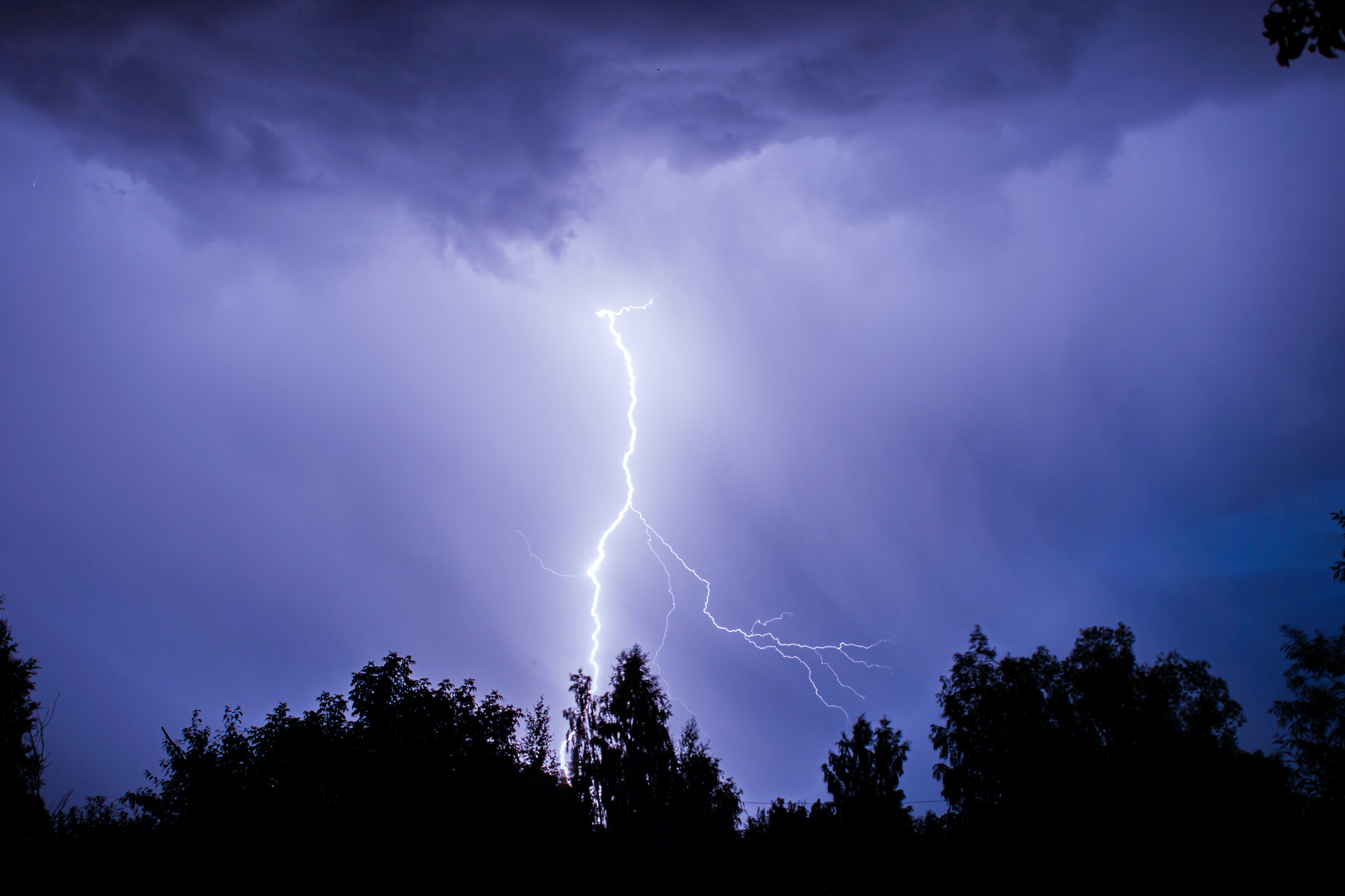
OneFortyOne is a major forest grower in Australia and New Zealand and part of a thriving regional forestry and timber industry committed to sustainable forestry practices. Lightning strikes are one of the leading causes of wildfires in forested areas worldwide. When lightning strikes trees or dry vegetation, it can ignite fires that spread rapidly through the forest, causing extensive damage to ecosystems, property, and sometimes even loss of life. Proactive forest management and forest fire risk mitigation extends to a variety of monitoring techniques, including satellite imagery, meteorological forecasting, and ground patrols.
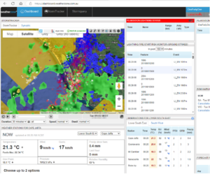
At OneFortyOne, the conventional method for mapping lightning strikes has historically involved manual data collection and processing. Subscription-based lightning data is retrieved from Weatherzone, a weather service provider used to develop maps. Following a lightning event, these same maps would be updated by the OneFortyOne GIS team to reflect change or damage to the forested areas as a result of the strike.
Transitioning from manual to automated processing
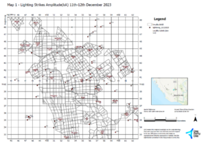
To combat the manual burden of Weatherzone data handling, OneFortyOne introduced FME into this critical process. FME facilitates the automation of processing Weatherzone web service lightning data specific to areas of interest. This involves organizing the data into time series and generating a feature class layer.
The process involves generation of URLs for each 10-minute interval, which are then used to fetch lightning data. This data is organized into point collections corresponding to each interval. The lightning strikes that hit the ground, crucial for assessing fire risk, are filtered out. The data is then aggregated into 30-minute intervals to facilitate clearer visualization on maps. Finally, the points are projected onto OneFortyOne’s coordinate system for web map display.
 Enhanced efficiency and proactive forest fire management
Since implementing FME, the process runs automatically every hour via a scheduled task. OneFortyOne is exploring ways to enhance its functionality by integrating FME with email and SMS. This would enable fire management and relevant stakeholders to be notified promptly about any recorded lightning events.
The feature layer produced is stored in an enterprise geodatabase which is connected to the ArcGIS Portal. This layer is automatically refreshed in OneFortyOne’s interactive web map, OneMap.
The improved FME process takes between 20 and 90 seconds to complete. Previously, staff could wait up to a full day to be notified of an event and receive instructions for mapping the results. The integration between FME, ArcGIS and OneMap has also enabled a much wider audience to view and analyze this critical information.
Overall, the solution removes the need for GIS staff to respond manually to a lightning event. It also alleviates concerns for fire management staff regarding lightning occurrences across the nearly 100,000-hectare estate spanning South Australia and Victoria.
This peace of mind enables fire management staff to swiftly monitor and assess areas of lightning strikes for potential sites of fire ignition more rapidly than ever before. This accelerated response capability is invaluable to OneFortyOne, allowing them to safeguard forests and the surrounding community more efficiently.
20-90
seconds to receive event notifications compared to previous full-day wait


Real change is just a platform away.
FME is ready to put your data to work and transform your business today. Are you?