This work was done in collaboration with Safe Software partner Locus.

Transforming water data access and reducing request times
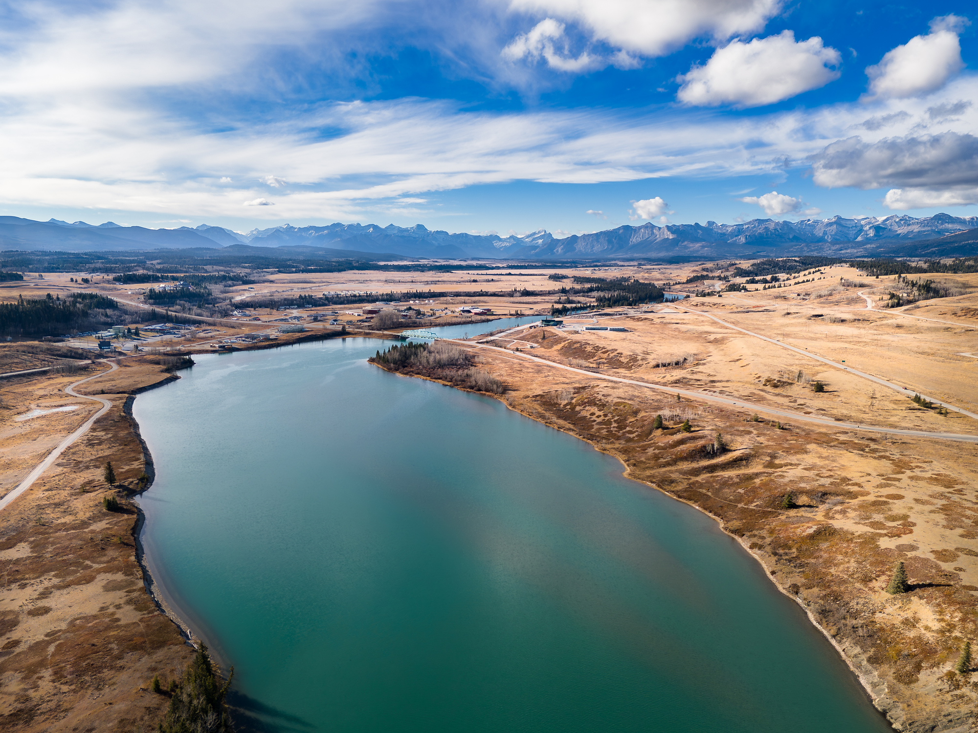
Managing water resources is a critical responsibility for Auckland Council, especially in a city of over 1.7 million people where demand is high. To protect water resources, water takes (extractions from rivers, lakes, or aquifers) require strict monitoring and regulation to ensure sustainable use. Likewise, bores, which are wells drilled to access groundwater, are subject to resource consents under New Zealand’s Resource Management Act.
Handling ad hoc data requests for bores and water takes was a time-consuming, manual process for Auckland Council. These requests, from both external organizations and internal departments, required approvals, NDAs, and tailored data specifications. The complexity of these requests led to delays of up to 10 days.
Automating the data request workflow
Recognizing the inefficiency, Auckland Council set out to streamline and automate their workflow. Their goal was to reduce manual workloads, integrate an approval step, and improve overall efficiency in managing resource consent data requests.
Auckland Council implemented a solution combining Esri applications and FME. Central to this transformation was a Survey123 form, which became the standardized method for customers to submit data requests. This form allowed users to include data use agreements and draw their specific area of interest on a map, simplifying the submission process.
Once a request was submitted, the system triggered an approval workflow. An email notification alerted the Auckland Council’s Regulatory Support team, who accessed an Esri Experience Builder application to approve or reject requests. Approved requests were processed through FME, which packaged the data and delivered it, while rejections prompted email notifications to customers, ensuring clear communication.
Approved requests then moved to the workbench, an automated system that processed and packaged the data efficiently. This system operated daily, handling new requests by reading and processing the areas of interest stored as hosted feature layers in the ArcGIS portal.
Enhancing efficiency and security
A key innovation was a custom transformer, designed to update the record status field via the ArcGIS feature service API. This design eliminated the need to store authentication credentials on a writer, enhancing security. The transformer’s flexibility allowed it to function across multiple environments by utilizing parameters like service and portal URLs.
Robust error-handling mechanisms further enhanced the workflow, providing detailed messages for troubleshooting and ensuring smooth operation. The automation process significantly reduced delays and improved resource allocation within the council.
Delivering a scalable and reliable solution
Auckland Council’s integration of Esri applications and FME has redefined its data request process. Automating submissions, approvals, and data packaging has reduced turnaround times by 60%, from 10 days to just 3-4 days, freeing up valuable resources for other critical tasks.
The secure, efficient workflow is not only user-friendly but also ensures compliance and reliability. By eliminating manual bottlenecks and increasing automation, Auckland Council has improved its ability to manage water resources effectively, ensuring long-term sustainability and service delivery for its growing population.