Modernizing locate requests and enhancing safety
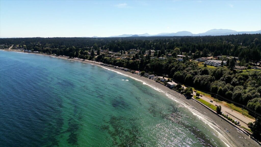
As Quebec’s leading natural gas distributor, Énergir handles approximately 50,000 locate requests annually, a critical process for preventing accidental damage to underground gas infrastructure during excavation. Often referred to as “Call Before You Dig”, these requests ensure that anyone planning to dig knows the location of buried pipelines, ensuring safe excavation and uninterrupted service by preventing accidental contact with underground infrastructure. With safety as a top priority, even a single incident can have significant consequences despite years of preventative effort.
Traditionally, each request at Énergir required a field technician to visit the site, locate the pipes, and manually sketch diagrams for the requester. This process is labour-intensive, time-sensitive, and costly, especially during the peak summer season, when Énergir receives up to 7,000–8,000 requests per month, compared to just 100 in the winter. At peak times, the short turnaround window and high volume of work meant technicians often had to work overtime, placing added pressure on staffing and budgets. With resources concentrated into just a few intense months of the year, Énergir recognized the need for a more efficient and sustainable approach.
To address growing demand and reduce operational strain, Énergir turned to GIS analysis and FME to rethink how low-risk locate requests are handled, without compromising safety.
Improving data accuracy to increase efficiency
Énergir’s GIS team, supported by FME Flow, developed a series of automated workflows to classify incoming locate requests based on risk level. A dedicated process runs every 10 minutes, using FME to analyze new dig polygons against GIS data and determine whether a field technician is required. While the GIS team maintains over 100 automated workflows in total, only a select few are dedicated to this locate request system.
Requests involving low-risk infrastructure, such as service lines with flow limiters, can now be processed in-office, allowing technicians to focus only on complex or high-risk jobs. These decisions are passed to SAP, which assigns the request to the appropriate team. “About 18% of our requests are now handled without sending a technician on-site,” explained Patrick Côté, GIS Technical Advisor at Énergir. “That’s close to 9,000 requests annually. FME makes that possible.”
To further reduce unnecessary fieldwork, Énergir has implemented a daily validation process. Each evening, FME analyzes recent locate requests and sketches to determine whether they can be reused for future requests at the same location. If no relevant data has changed, the system flags the sketch as still valid, avoiding unnecessary technician visits. All validations are stored in a central database, so when a new request comes in, the system quickly checks if a field response is still required. This approach conserves time and resources and ensures that fieldwork is only performed when necessary.
While the current system has significantly improved efficiency, spatial uncertainty in parts of the existing GIS data limits the potential to expand automation. In some cases, the accuracy of the mapped location of older pipes varies between 30 and 50 centimetres, making it harder to confidently classify requests as low-risk. Whenever digging is proposed within that distance of a pipe, a warning is issued for higher-risk activity, triggering technician visits.
To address this, Énergir is launching a new initiative to precisely locate older infrastructure, aiming to reduce the margin of error to under 10 centimetres. With more accurate pipe location data, Énergir can safely reduce the size of buffer zones and more accurately assess when a field response is needed. This enables more requests to be processed in-office and reduces unnecessary site visits.
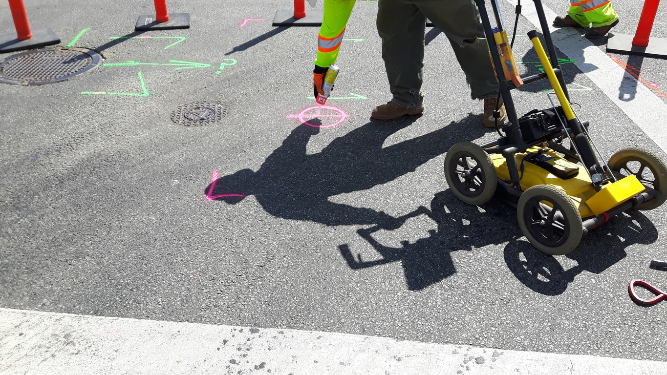
Technicians equipped with advanced locators collect precise pipe positions in the field. FME validates, imports, and updates GIS records from the cloud, supporting a smarter, data-driven locate process.
Streamlining construction and emergency workflows
Énergir values FME not only for its automation capabilities, but also for how quickly and flexibly it can be deployed across different use cases. “Another big advantage of using FME is that it is very versatile. We can use FME in so many ways and develop solutions for different kinds of problems. Imagination is the limit,” shared Patrick, GIS Technical Advisor at Énergir. “We also like that it is super-fast to deploy new things with FME. We don’t have to buy new licenses every time we develop new projects, staging and deploying between environments is easy, and it’s easy to teach new employees.”
To improve turnaround times, the GIS team developed workflows using no-code web apps. These apps allow engineers and site teams to upload construction files, which are automatically validated, converted, and routed to the correct systems. Once construction is complete, as-built plans are submitted through the same app and integrated into GIS via automated workflows, reducing the need for manual processing and back-and-forth communication.
Énergir has also extended FME’s use into emergency preparedness by automating wildfire risk monitoring. Previously, team members had to manually check government websites daily to assess whether fires were approaching company assets. Now, FME handles this process by pulling updated wildfire data daily from provincial sources, running proximity analysis against Énergir’s infrastructure, and triggering automated email alerts when assets are at risk. This reliable, real-time system has replaced manual checks, improving safety and response times.
Looking ahead
Énergir continues to expand its use of FME across workflows, from asset management and emergency monitoring to improving internal collaboration. As the team works to increase the spatial accuracy of its data and reduce manual overhead, FME remains a central tool for driving efficiency, safety, and data reliability at scale.