

How to debug FME Workflows: A step-by-step guide
Safe Software Product Blog
Discover insights on FME products including trends, technical tips and tricks, and use cases. Explore how geospatial technologies and automation are shaping the world around us.

Using FME to analyze and predict dengue outbreaks in Malaysia

4 reasons to use Remote Engines for FME Flow
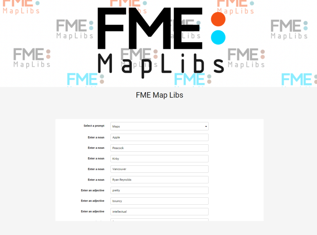
MapLibs: how we used FME and AI to create a game app

Stream processing: How to turn real-time data into insights

Revolutionising Geospatial data integration: FME and Generative AI
Designing the best ETL workflow: ETL vs. Reverse ETL vs. Zero-ETL

Getting started with cloud-native geospatial data formats

Data-driven marine operations: 5 ways to generate actionable insights from ship to shore

Introducing FME Form 24.0: Enhanced user experience

AI Assist in FME: Enhance data workflows

Learn how to maximize your data and minimize your efforts with FME.
Join our free and interactive workshop to learn how to make the most use out of your data with FME. The FME Accelerator will show you the basics of how to automate your data integration workflows and connect to 450+ formats.
Questions about the platform?
Find the sales information and answers you need to continue your data integration journey.
Pricing, with a difference.
Long-term partnerships over short-term profit. Learn how we can deliver unrivaled value to you.
Join the FME Community
Connect with over 20,000 active members worldwide and tap into a wealth of FME knowledge.