This work was done in collaboration with Safe Software partner Solutial
![]()
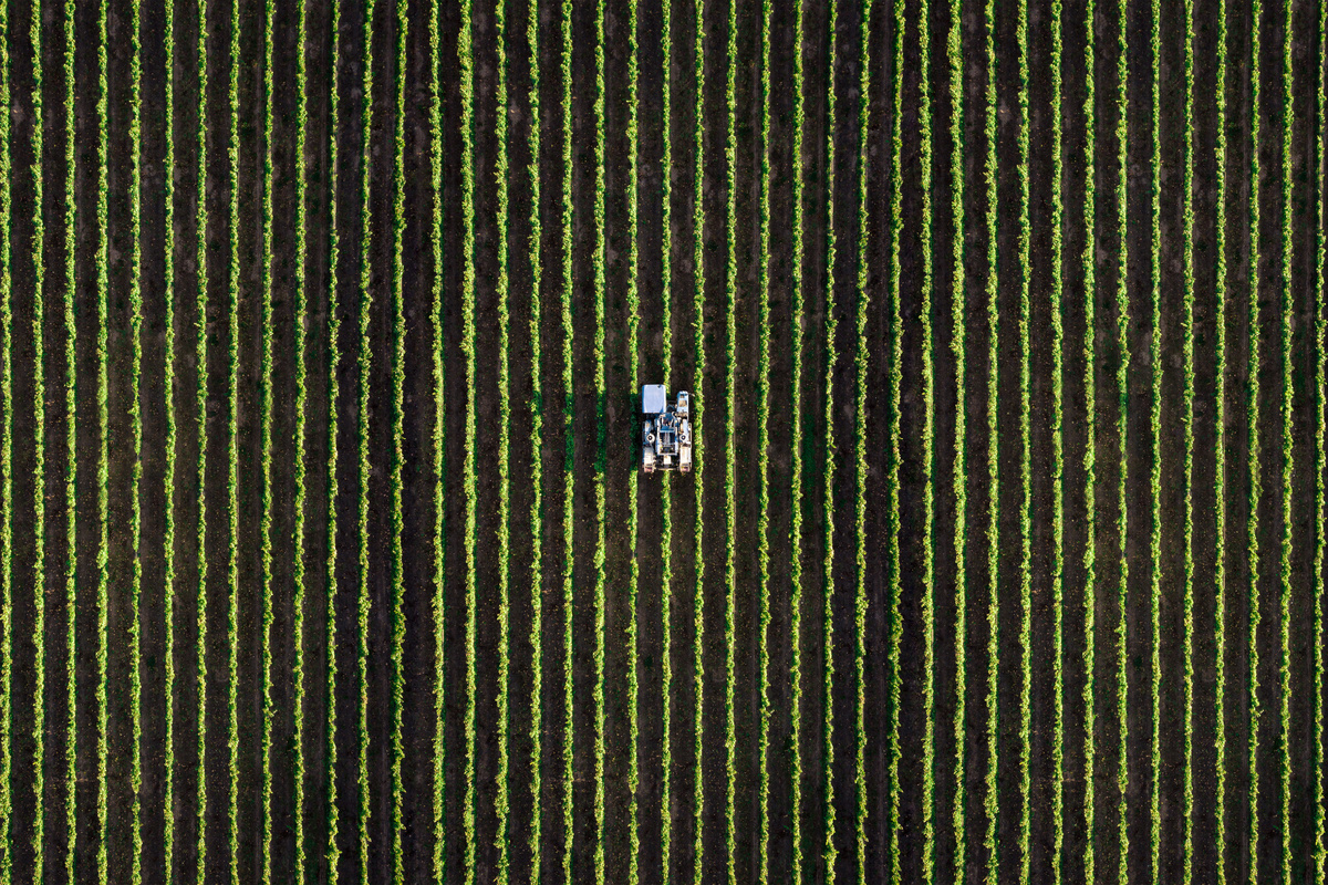
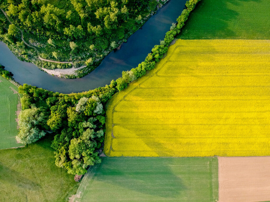
Brazil is one of the world’s leading agricultural producers. Soy, corn, coffee, sugarcane, and forestry operations extend across millions of hectares and multiple ecosystems. At that scale, managing land data requires consistent, long-term processes.
Working across millions of hectares requires imagery to move through repeatable, automated workflows. FME provides the foundation to support those workflows across systems and teams.
Connecting Agricultural Data with FME
Agricultural and forestry organizations manage information from multiple sources, including satellite imagery, drone surveys, field sensors, public land registries, and internal enterprise systems.
Bringing these sources together in a structured and reliable way supports accurate analysis, reporting, and decision-making.
FME connects these systems and automates how data moves between them. Teams can ingest imagery, validate land boundaries, standardize formats, and deliver results into reporting tools through structured workflows. Scheduled processes help ensure analysis remains current and consistent over time.
Organizations can build reliable data pipelines that support daily operations and scale as requirements evolve.
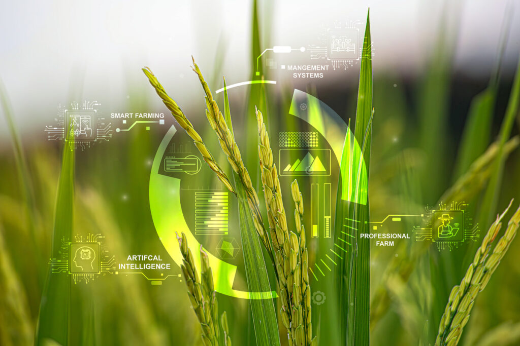
Integrating GeoAI into Existing Workflows
Integrating imagery into operational workflows allows organizations to use detection results alongside enterprise data.
Through the Picterra Connector Transformer in FME, imagery can be sent directly from an FME workspace for AI-based detection. Once processing is complete, results are automatically returned to the workflow for validation, transformation, and distribution.
This enables teams to:
- Upload drone or satellite imagery from FME
- Trigger detection processes automatically
- Retrieve structured results
- Schedule recurring analysis
- Deliver outputs to dashboards and enterprise systems
Picterra’s detection models support a range of agricultural and forestry use cases, including invasive weed identification, cattle counting, road monitoring, illegal clearing detection, crop health analysis, and forestry biomass tracking.
FME ensures detection results connect with existing systems and reporting environments, supporting consistent data flow across the organization.
This approach has also been demonstrated in a recent webinar led by Solutial, highlighting how GeoAI can be integrated with FME to support scalable, automated data workflows.
Managing Scale and Regulatory Requirements
Brazil’s agricultural sector operates at significant scale and under growing regulatory expectations. Integrated workflows support several operational needs.
Large production areas
Continuous monitoring across distributed land benefits from automated, repeatable processes that complement field inspections.
Regulatory requirements
The EU Deforestation Regulation requires exporters to demonstrate that supply chains are free from deforestation. Integrated FME workflows allow producers to upload land boundaries, run deforestation risk assessments, and validate geometry and area calculations automatically before submitting reports to buyers or authorities.
Operational efficiency
Automation supports teams by reducing repetitive data handling tasks and enabling specialists to focus on reviewing insights and guiding decisions.
Increasing data complexity
Imagery, environmental indicators, and enterprise systems generate interconnected datasets. Integration helps maintain consistent information flow across departments and tools.
From Detection to Operational Insight
Embedding GeoAI detection into automated FME workflows provides repeatable insight at both parcel and regional levels.
Organizations can:
- Generate deforestation risk assessments aligned with regulatory frameworks.
- Run automated data quality checks.
- Monitor crop health, drought impact, and biomass evolution.
- Track land use changes over time.
Because detection results flow directly into enterprise workflows, teams across the organization work from the same integrated data environment. Field teams can prepare for site visits using pre-analyzed insights, supply chain teams can review aggregated indicators to anticipate production variability, and leadership can access dashboards that support ESG reporting and compliance tracking. The same workflows also support environmental monitoring, enabling organizations to track tree canopy coverage, soil and mulch cover, and land conversion events through consistent, imagery-based analysis.
Why it matters
Agricultural and forestry organizations operate at scale and under increasing regulatory and market expectations. Meeting those expectations depends on structured workflows that connect imagery, detection results, and enterprise systems in a reliable way.
With FME at the core and GeoAI integrated into automated processes, imagery becomes part of everyday operations rather than a separate analytical task.
At this scale, integrated workflows support informed decisions across the organization.
Explore how FME and GeoAI are transforming agricultural and forestry operations at scale.
Visit the Solutial partner page to learn how organizations in Brazil and Latin America are using integrated geospatial data workflows to improve traceability, monitor land use, and meet regulatory requirements.