![]()
This work was done in collaboration with Safe Software partner Spatialworld Oy
When a motivated intern suggested building a workflow to predict Urban Heat Islands (UHI), it felt like the perfect chance to put FME to the test. The idea was ambitious: create a repeatable way to identify temperature hotspots using environmental and urban data, without diving into complex code or relying on a heavy tech stack.
What came next went far beyond a typical internship project. It became a real-world example of how FME helps new users create smart, scalable solutions to real environmental challenges.

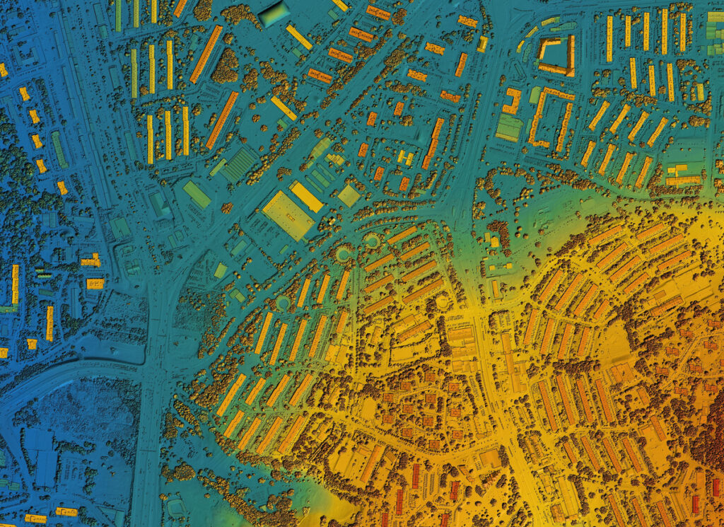
Understanding the Urban Heat Island challenge
Urban Heat Islands are areas in cities where surface temperatures rise significantly higher than in nearby rural zones. As cities grow, UHls are becoming more frequent and severe, contributing to heatwaves, increased energy use, and public health risks, especially for vulnerable populations.
To better understand and anticipate these impacts, our intern set out to build a workflow that could analyze various urban and environmental datasets, calculate surface temperature, and output risk maps for areas most affected by heat buildup.
A collaborative opportunity
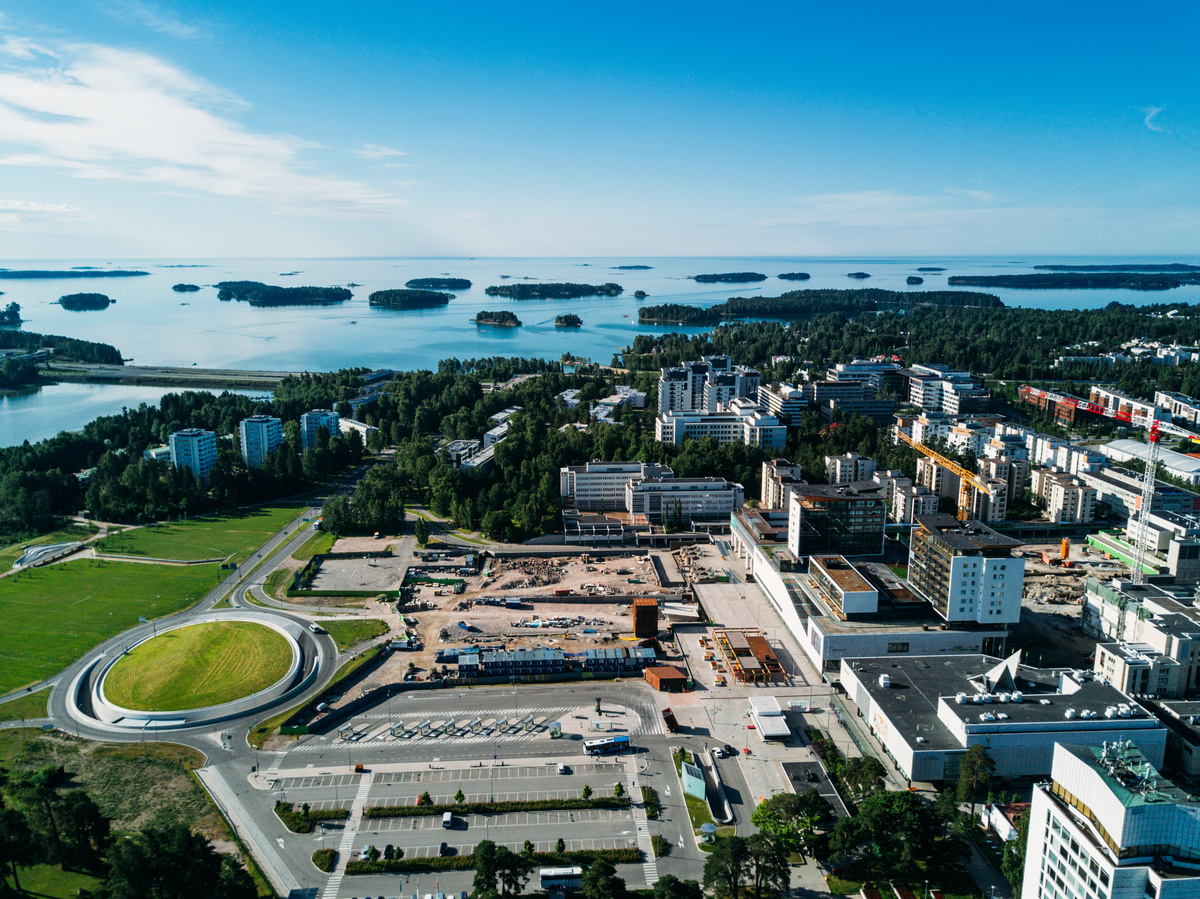
The timing aligned with a parallel initiative: the City of Espoo and the Finnish Environment Institute (SYKE) were working together to assess the economic impact of rising temperatures using the System of Environmental Economic Accounting.
We reached out to share the UHI workflow, built in FME, and explored how their models could align with our prototype. This collaboration enabled cross validation between scientific methods and low code automation, opening doors for future cooperation and practical policy use.
Building the workflow in FME
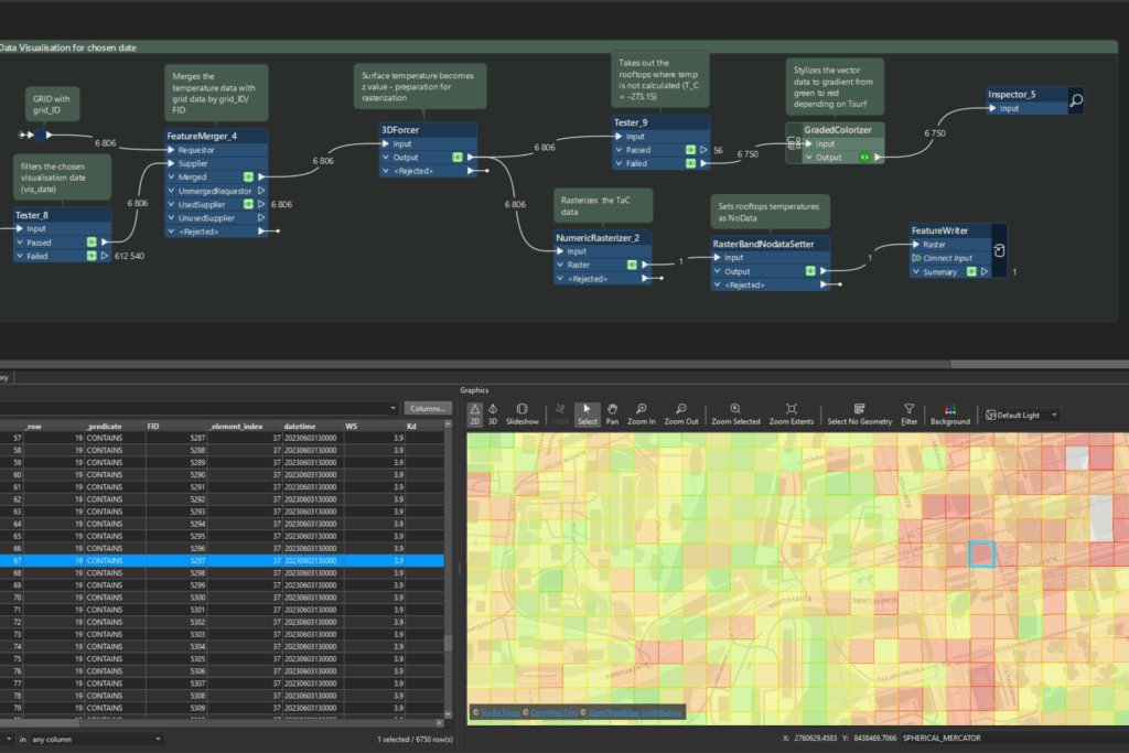
Despite having little programming experience but some FME knowledge and a deep climatology background, our intern quickly developed a process using FME. Its visual interface, transformer-based logic, and linked Python code did wonders. Here’s what the workflow included:
- Standardizing and cleaning datasets (e.g., land cover, radiation data, building footprints)·
- Applying filters like masking water bodies or irrelevant land use·
- Calculating missing values such as canyon width between buildings
- Estimating surface temperature per land cover type using iteration
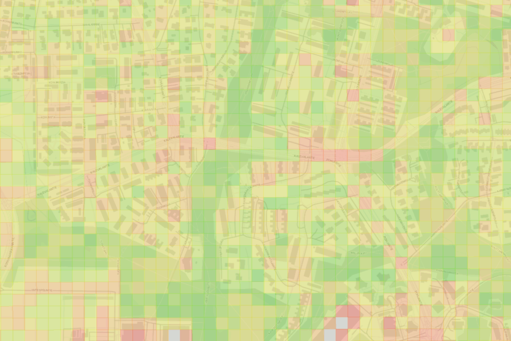
- Generating heat risk maps in both raster and vector formats
FME’s interface allowed for rapid prototyping and iterative testing, ideal for scientific exploration without the overhead of manual scripting.
![]()
Why FME was the right fit
Urban Heat Island prediction depends on changing variables and varied inputs. Using FME made the entire process more adaptable and scalable.
With FME, she could:
- Swap datasets without altering core logic
- Adjust thresholds for classification and scoring
- Test preprocessing steps using built-in transformers
- Export maps for analysis, reporting, or integration with other platforms
All of this was done in a low-code environment that supported experimentation and refinement.
Learning through visual logic
Some parts of the workflow required fine tuned control, such as reclassifying raster values or computing statistical thresholds. When needed, tools like PythonCaller provided flexibility without forcing the user into full scale development.
This hybrid approach helped the intern gain confidence in applying technical logic, using code when needed but always within a structured, guided environment.
From prototype to reusable mode
By the end of the internship, the result wasn’t just a prototype. It was a fully reusable workflow. Thanks to FME’s ability to parameterize variables and automate steps, the process could be adapted for different cities and scaled to run over time.
Key features included:
- Custom input parameters for seasonal thresholds and buffer zones
- Support for localized datasets
- Batch processing for time series or seasonal analysis
This kind of flexibility turns scientific insight into operational capability.
Looking ahead
The groundwork laid during this internship opens the door for more advanced UHI analysis, including integration with live sensor data, real time alerts, and broader regional comparisons. It is also a stepping stone for talent, showcasing how technical curiosity can lead to real world impact.
Making complex problems accessible
Low code platforms like FME do more than simplify tasks. They empower people from diverse backgrounds to build tools that matter. This project is proof that someone with scientific knowledge, but limited coding experience, can make a tangible impact on urban resilience and climate adaptation.