Podcast: Machine Learning and Geospatial Data


Imagine being able to train your GIS to perceive and understand the world, and give you insights based on your data. Today, geospatial experts are using machine learning for:
- Analyzing big datasets (what do these 2 million points actually mean?)
- Predictive analytics (e.g. forecasting risk)
Listen to the podcast with @mapgirll and me, where we discuss how machine learning could be the next step for geospatial data.
Links to stuff we talked about:


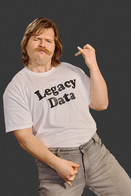
 Legacy Data is traditional and values the wisdom of the past. He’s the go-to for office lore and frequently reminisces about ‘the early days’. His fax number is still operational and his office shelves are filled with paper files, plus a floppy disk or two (or twenty). Find him by the water cooler solving a Rubik’s cube or recollecting on how things used to be done. Just don’t ask him to download your pdf or move to the cloud.