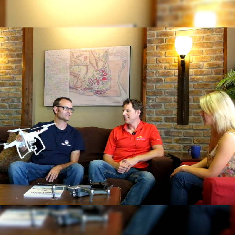
Episode 5: Coders on Couches Drinking Coffee – Drones


Grab a coffee and chat with Steve and Dean about why drones are revolutionizing the industry, how they’re being used commercially and recreationally, and what it’s like to plan the drone mission cycle.
See also:
- Blog – How to get started with drones
- FME UC presentation – UAVs and FME: Powering Your Drone and Its Data with FME
- Apply for a free FME Home License
Video Transcript
Tiana: So I’m here with Steve and Dean, who are the drone enthusiasts of Safe Software.
Dean: It’s just amazing what’s packed into these platforms – the technology, in terms of everything from all the flight systems, to the optics, the camera systems, the video.
Steve: They’re a lot of fun, and I – you know – for me, I love the whole world of aviation anyways, I’ve got my pilot’s license, and this is just another extension of being able to get up in the air like a bird and being able to see from that vantage point, it’s just beautiful.
Dean: For me, working with the drones is really cool because it sort of unifies my interest in GIS and mapping with aviation. To take GIS and actually you know, program things to go fly and collect data in the real world and bring it back… it sort of visualizes all these concepts that we’ve been working with, in, you know, in actually collecting your own data and then synthesising it, so it’s really cool.
Steve: That’s the thing, using these things and taking, you know, the whole process is really a GIS workflow and it’s just incredible what we can do with this now.
This industry has been driven by the military, then all that technology came down into the commercial applications and now it’s just exploding, right, it’s a huge industry. But in the commercial world, they’re really being used for just about anything that was traditionally done by, say, a manned aircraft.
Dean: For the application I’m looking at, it’s not just recreational, it’s for search and rescue, and so I’m a member of the Royal Canadian Marine Search and Rescue here at Crescent Beach. The goal here is to basically – if we get a notice that somebody is, you know, missing, or run into trouble at the south or north end of the bay, I can set up a search grid and then we can analyze that imagery in a much quicker time.
At the UC we had our friend Renato, who came out from Southern Company. They’re using it to inspect power lines, hydro power corridors, and even nuclear power plants – they can send a UAV in there and they don’t have to worry about the radiation, they don’t have to worry about all that.
Really you can only fly for about twenty minutes, and you have to bring it home. And so you want to maximise how much data you collect in that time, and so having an automated flight path helps.
Steve: Yeah, “minimum yet optimum” is the term they kind of work with and that’s what the flight planning does for you, so you can fly your drone very efficiently collecting these data points.
Dean: We see that FME has a role in sort of that mission lifecycle. So you mentioned flight planning and data processing, so basically you’ve got to plan a mission, then you actually run the mission, and then post-process and distribute the data.
Tiana: So if somebody has a drone for recreational use, and they want to use FME to help them manage the data, how can—?
Steve: With the home edition!
Tiana: With the home edition.
Steve: Right.
Tiana: So they can get FME for free and use that to process all the data. FME Home License.


