KML is an OGC Open Specification!


It has been twenty years since The Trade — the day Wayne Gretzky left Edmonton for Los Angeles — and like every other Oilers hockey fan, I remember exactly where I was when I heard the news. The day I first saw KML in action is just as vivid: standing at our customer’s site, watching him demo his own data in Google Earth, we all knew we were witnessing great history in the making.
In the beginning, a big part of the KML magic was its close tie to the platform it was designed to serve – Google Earth. I think it is fair to say that without Google Earth, there would have been limited interest in KML. That platform was arguably more revolutionary than KML in that overnight it made vast quantities of spatial data dramatically more accessible than anyone had previously envisioned. At first, for most people it was just gravy that there was a documented format for adding one’s own content to Google Earth; but for those of us inside the spatial industry, the possibilities were truly mouth watering.
The one-two punch of Google Earth and KML meant that otherwise non-spatially-interested folks in any walk of life could quickly understand the power of spatial data and begin asking to see items they cared about, overlaid on top of the rest of the imagery. And thus the push to bring more and more spatial data to KML.
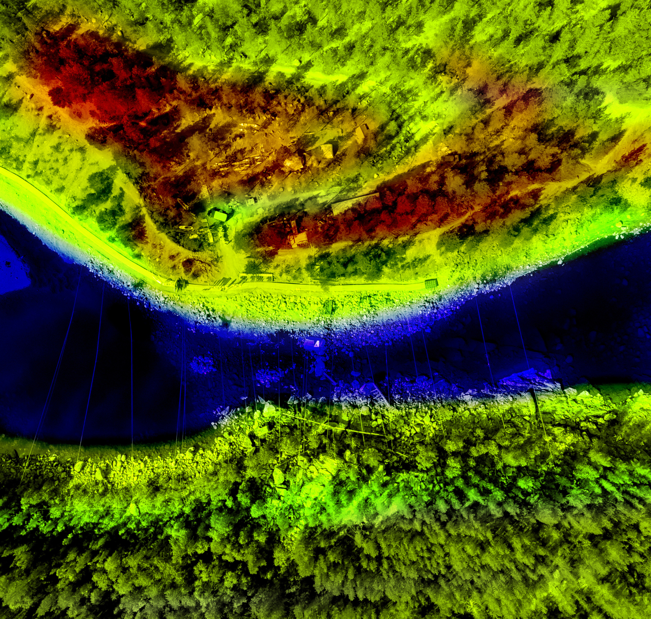
One of the first files I pushed through FME to KML was a sample dataset we’d been using here at Safe Software for more than five years. Because I’d always been viewing it in traditional tools, I simply knew the data as a map of an oil field somewhere in Alberta. Was I ever surprised when I opened up the freshly minted KML file in Google Earth and saw that the site was located right where I grew up! One of the great benefits of KML was that when you viewed it, you got context. For free!
Now here we are, not quite 3 years later, and the OGC has accepted KML into their fold, essentially cementing KML into the record books as a powerful format for spatial communication. You can see the OGC’s press release of their announcement here to read their perspective on the importance of this decision. KML has grown from being used only by Google Earth to being supported by Microsoft Virtual Earth, Google Maps, ArcGIS Explorer, and many, many other spatial applications. Having KML as a standard will ensure interoperability between these platforms.
In the work that we do at Safe, we’ve seen a lot of different formats — including the impacts of the other main XML format of our time, GML — so it wasn’t hard to tell that KML would also carry great influence. Ironically, we still get asked the same question as we did when KML first came out – isn’t it the same thing as GML? As we somewhat clumsily pointed out in our interview with Directions Magazine, they are not the same thing at all. They may share some commonalities under the covers, but they really do target different things. While GML is about content, KML is about display. There is quite a difference – I think Chris Schmidt’s recent posting on this is worth reading if you, like me, find spatial data formats a captivating topic.
Looking back, we’re glad that we at Safe jumped to provide support for this format as quickly as we did, because KML has filled this visualization need for many of our customers. While we immediately sensed KML’s value, we didn’t realize is that KML would make celebrities of our friends at the City of Nanaimo, who pioneered the way in bringing the capabilities of KML to the city context. More recently at our FME Worldwide User Conference, our friends from Burns and McDonnell explained how they use FME to create a spatial project dashboard in Google Earth. The opportunities for KML continue to grow as the technology takes hold.
Losing The Great One was a negative turning point for fans of the Edmonton Oilers, but the introduction of KML and the free viewers for it (like ArcGIS Explorer, Google Earth, Google Maps, Microsoft Virtual Earth) to the GIS industry has been a powerful, positive disruption which has tossed us into a whole new era of spatial data. These last few years have been a great time to be part of the GIS industry. I look forward to the future growth of KML as an open specification, and to watch the impact that OGC’s standardization of KML will have on the format and the geospatial ecosystem.


