By Hellen Cross, GIS diploma student, TAFE NSW, Australia.
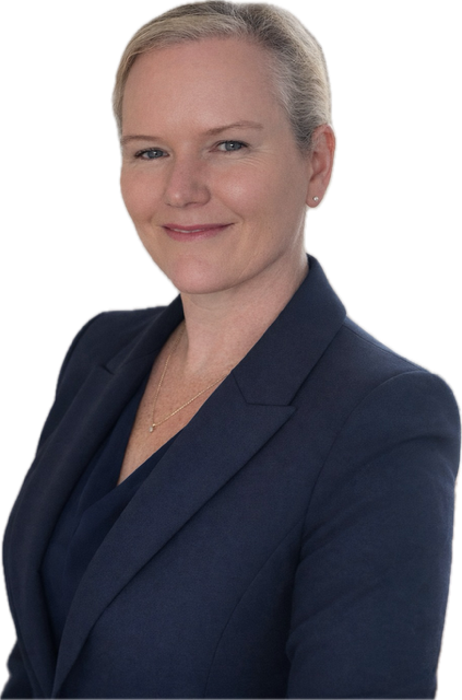
I am studying for a diploma in GIS at TAFE NSW, where I was introduced to FME in the Integrate Spatial Datasets course. As a student at an accredited institution, I applied online through the FME Grant Program and received a four month student license.
I am still getting to know FME, but what I have liked most so far is how easy it was to get started. I was able to begin building workflows and see results immediately.
Connecting customer requests with GIS.
For one project, I worked with customer request data stored in an enterprise SQL Server system. I needed to translate that information into a GIS solution, and FME made the process quick and easy.
This gave me a practical example of how FME can connect systems and turn existing information into something that can be used in a spatial context.
A different experience from programming.
I have also used Python, but I found it much easier to get a data translation running in FME. I did not need to be a computer programmer to build the workflow, and the translation ran quickly.
A useful skill for my work.
Working in the geospatial field often means bringing together different data sources and coordinate systems. Knowing how to use FME can make that process quicker and less difficult.
Although I am still learning, I can already see FME becoming a game changer in my work.