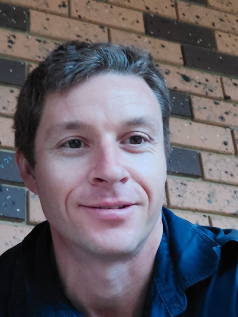
By Michael McGarvie, Diploma of Surveying student, RMIT, Australia.
As part of my Diploma of Surveying at RMIT, I used FME in the Develop Digital Terrain Models course.
My access came from a four month student license provided through the FME Grant Program.
Creating a hillshade image
One of my projects involved using FME to develop a hillshade image. It was an opportunity to work with the software while building my knowledge of terrain modelling.
What I liked most was the workflow layout and the way FME focuses on automation. This approach showed me how a process can be structured as a workflow rather than completed as a series of separate manual steps.
Building knowledge for my career
Learning FME has added another practical skill to my surveying studies. It also gives me a way to demonstrate my knowledge of aerial imagery as I begin developing my career.