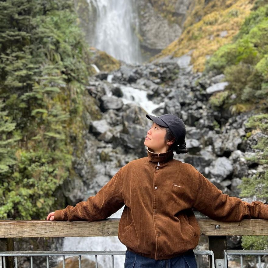
By Sophie Shuwenqi Sun, first year Surveying and GIS student, RMIT, Australia.
I was introduced to FME during my first year studying Surveying and GIS at RMIT. I used it in the Introduction to Spatial Software course and received access to FME for four months after applying online through the FME Grant Program.
I am still getting to know FME, but its automation and workflows already stand out to me. They reduce repetitive manual work and help me complete my assignments faster.
Mapping contours from LiDAR data.
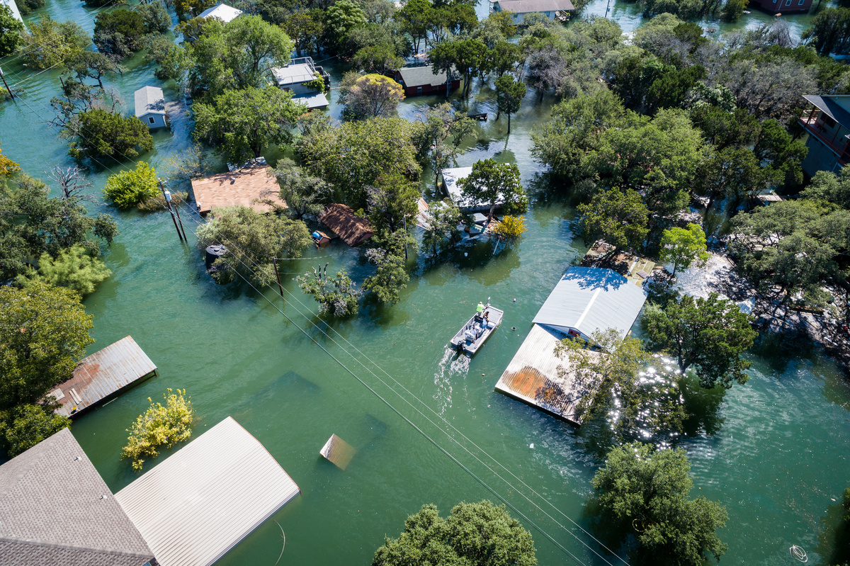
For one project, we worked with LiDAR data to map the contours of a flooded cemetery in regional New South Wales.
The project gave me an opportunity to work with LiDAR data in FME and use a workflow to complete the task. I found the software fast and straightforward to use.
Continuing to learn.
There is still a lot I want to learn about FME. I hope to explore more of its capabilities and use them in my future studies and work.
When describing FME to someone who has never used it, I keep it simple: “It’s like the iPhone of GIS software.”
A skill for my future career.
Learning FME gives me another software skill to showcase to potential employers. It also demonstrates my ability to learn new tools and apply them to practical projects.