

By Fredrik Lindberg, Professor, University of Gothenburg
Many years ago, I left academia and had the opportunity to see how FME was being used extensively in professional work around Gothenburg.
When I returned to academia, I wanted to bring that experience with me. I decided to introduce FME to my students so they could become familiar with the software during their education and build skills they could take with them after university.
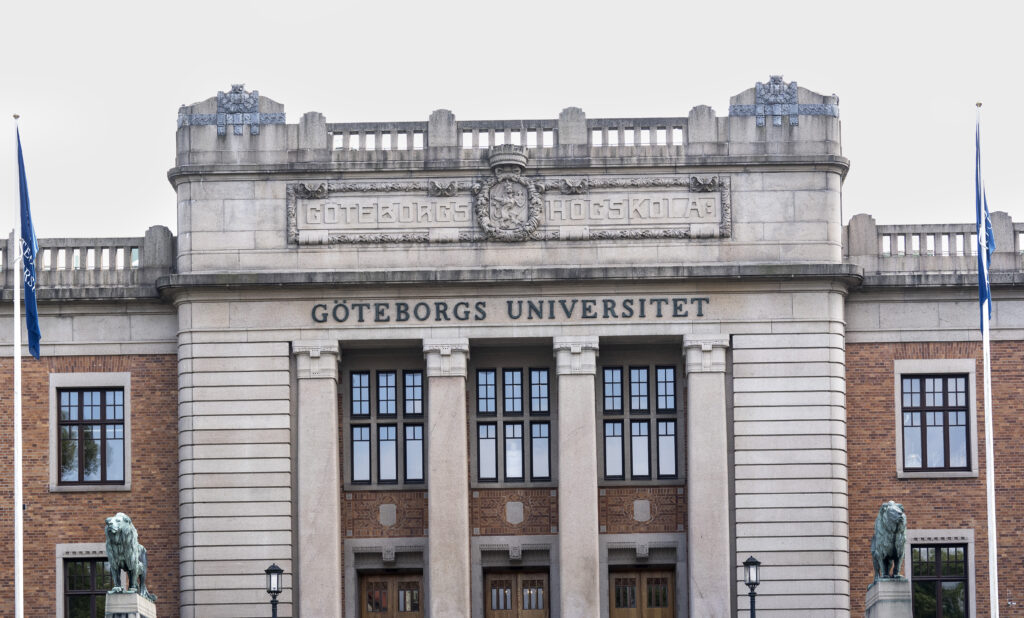
Today, I teach FME as part of Geography and Urban GIS in the Department of Earth Sciences at the University of Gothenburg.
Seeing what students can do
It is difficult to point to one single example that captures the impact FME has had on my students, but there is one project that I still remember.
A group of students automated the translation of a road network from line to polygon features. Seeing what they were able to accomplish with FME really impressed me.
FME also has a layout and design that differs from traditional desktop GIS. I think that makes it important for students to become familiar with it during their education. Learning different ways of working with spatial data gives them experience they can carry into their future careers.
For me, one of the most rewarding parts comes after students leave the classroom.
“My students really appreciate the introduction to FME. They come back and tell us stories about how they benefit from knowing about this software and how to use it in their everyday work.”
My advice to other instructors
If you are considering introducing FME into your course, my advice is simple: do it.
Students benefit from developing skills in a very capable piece of software that is used extensively across academic and non-academic organizations.
Giving them the opportunity to become familiar with FME while they are still studying means they can take that knowledge with them and put it to use wherever their careers take them.