
![]()
This work was done in collaboration with Safe Software partner con terra.
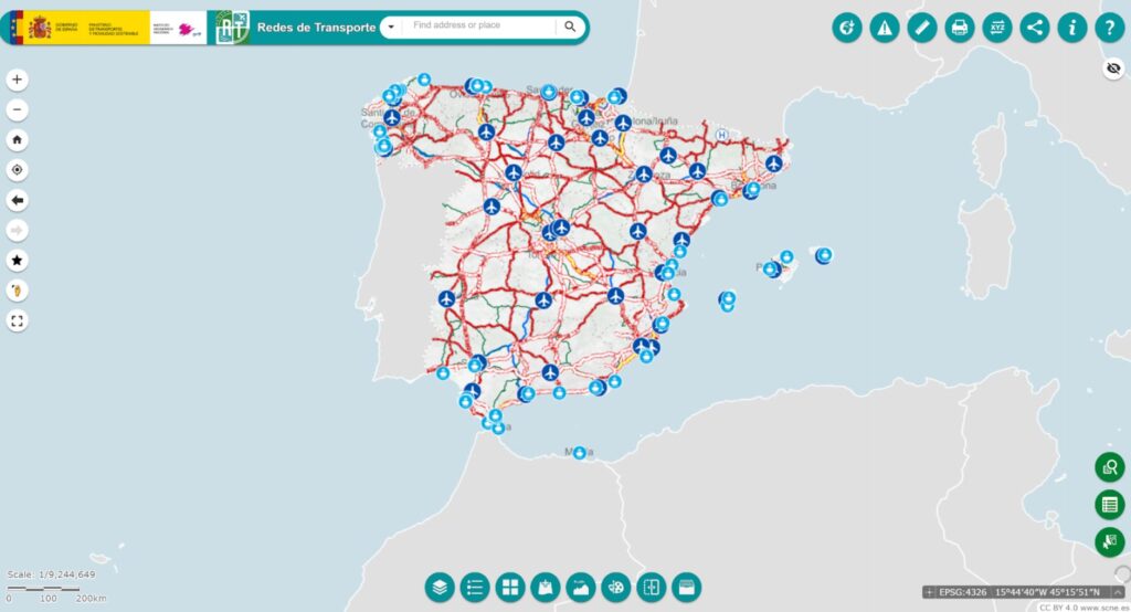
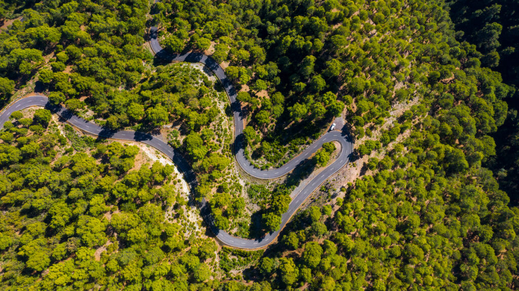
Spain’s Digital Transportation Network (IGR RT) is a national geospatial dataset developed by the National Geographic Institute (IGN). It represents multimodal infrastructure across the country, including roads, railways, maritime routes, aerial corridors, and cable transport. It is considered a high-value dataset and also subject to standardized publication following the INSPIRE directive.
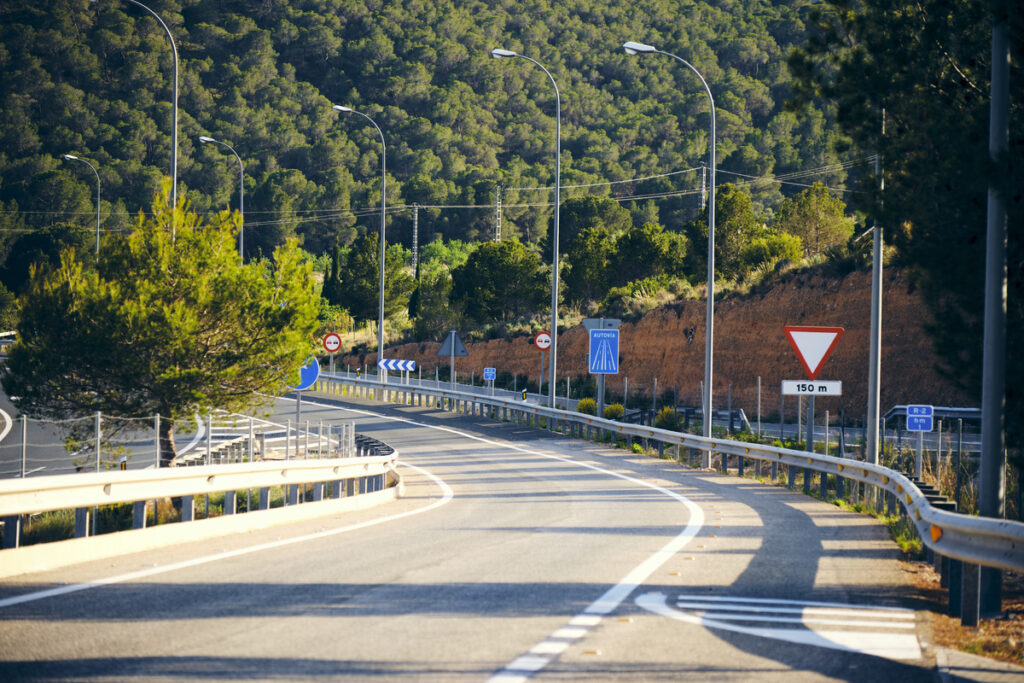
To enhance and maintain the dataset, crucial for ensuring it remains up-to-date, artificial intelligence was applied to aerial imagery from Spain’s National Plan for Aerial Orthophotography (PNOA). Traditionally, this process involved manual digitization of aerial images, updated region by region over several years. The use of AI aims not only improves the dataset’s quality and consistency but also reduces reliance on labor-intensive and error-prone manual workflows. The AI models identified key transportation features that were then prepared for structured integration. FME was used to transform these outputs into validated, scalable, and ready-to-use data for the IGR RT model.
From imagery to network intelligence
The project began with the development and application of AI algorithms developed by Centro de Observación y Teledetección Espacial S.A.U. – COTESA, with whom we collaborated on the project, designed to detect transportation features from aerial imagery. These AI outputs then served as inputs for FME workflows. The data extracted included:
- Multiclass linear segmentation to represent different types of road and infrastructure lines.
- Detection of horizontal signals, delivered as bounding boxes with classification attributes.
- Traffic direction indicators, extracted using bounding boxes with angle attributes.
- Roundabout detection, identified through general bounding box geometry.
- Structure detection, such as bridges, captured as oriented bounding boxes.
While these outputs provided valuable information, they needed to be post-processed, cleaned, and structured before they could be added to the national dataset.
Transforming AI outputs with FME
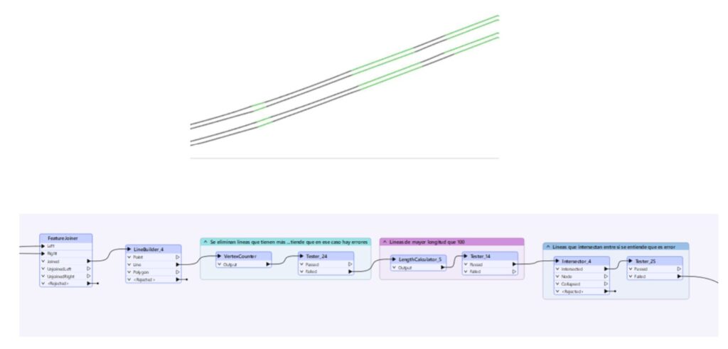
- FME was used to post-process the AI outputs into structured geospatial features. The workflows addressed several core areas:
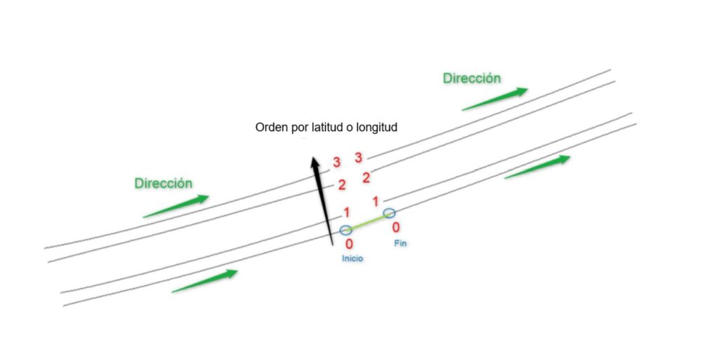
- Continuity of longitudinal road markings by connecting fragmented segments and standardizing geometry
- Vectorization of results, converting bounding boxes and categorized lines outputs into usable linework
- Handling both general rules and specific exceptions, including complex infrastructure cases
- Automation of repetitive tasks to support national scalability
In parallel, attribute inference workflows were used to both enrich and validate existing features in the current database with additional information, including type of road, number of lanes or traffic direction.
What it took to make it work
FME played a central role in transforming raw AI detections into structured, scalable transportation network data. It was selected for its strong geospatial capabilities, flexible visual workflows, and ability to support rapid iteration and testing.
The process included:
- 23 modular FME workspaces.
- Around 2,000 transformers.
- 54 pages of documented logic.
- Export configurations for multiple formats.
FME and AI: A future-ready combination
This project demonstrates how combining artificial intelligence with FME can support the creation of reliable, future-ready datasets. By transforming raw detections into structured, validated outputs, FME helped ensure that Spain’s national transportation data remains accurate and scalable.
As organizations continue exploring the role of AI in their data processes, tools like FME can play a key part in making that integration seamless and effective.
Learn more about how FME supports AI-powered integration across different industries.