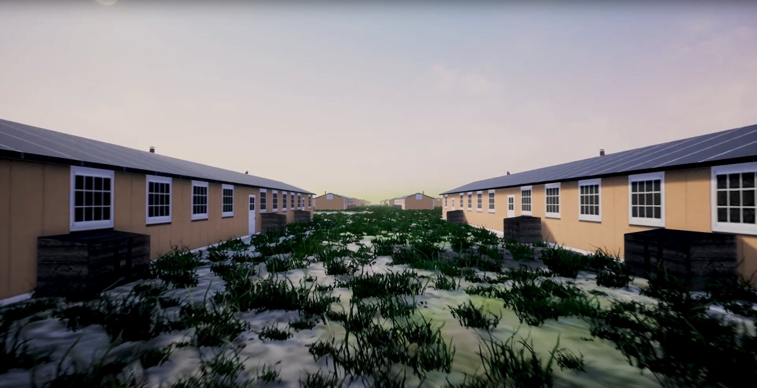
The University of Denver Amache Project aimed to create 3D models for research and preservation purposes of Amache, a WWII internment camp for Japanese-American citizens. The main challenge was to unify various data sources and recreate the site as it existed during WWII.
Jim Casey, an expert in geospatial analysis and founder of Mapping Amache, played a pivotal role in this project. Collaborating with Safe Software, Jim and the university leveraged the power of the FME Platform to integrate diverse data sources such as drones, CAD drawings, GIS layers, and more. This allowed them to create a comprehensive 3D model of the Amache site as it was during WWII.
The team utilized CesiumJS to create a 3D scene of the site for sharing over the web. To enhance the user experience and interactivity, Unreal Engine was employed to create a game-like environment. The Multi-User Viewer template was used to facilitate exploration of the world alone or in a multi-user mode where users could connect to the same world and see each other as avatars. Finally, the model was also utilized in the FME AR app, enabling users to explore the present-day Amache site overlaid with augmented reality that depicts the appearance of the site 80 years ago.
Thanks to the assistance of Safe Software and the leadership of Jim Casey, the University of Denver Amache Project was successful in creating a detailed and interactive model to research, interpret, and preserve the site of Amache. The team was able to visualize the site as it was during WWII and present the data in various forms, making it accessible to a wider audience and thus preserving the history of the Amache site.
To learn more about the important work of the Amache Preservation Society and see the results of this collaborative effort, visit the ArcGIS Storymap “Augmenting Amache”.


