Automatic Map Production 1:50,000 Scale. Symbology and Raster Creation for Web Services View and Download Services

Presentation Details
Currently, the demand for geoinformation is increasing and it is necessary to transmit the changes that occur in the territory to cartography. That is why data publishers need to establish a balance between the art of making maps and the need to keep such data and services updated.
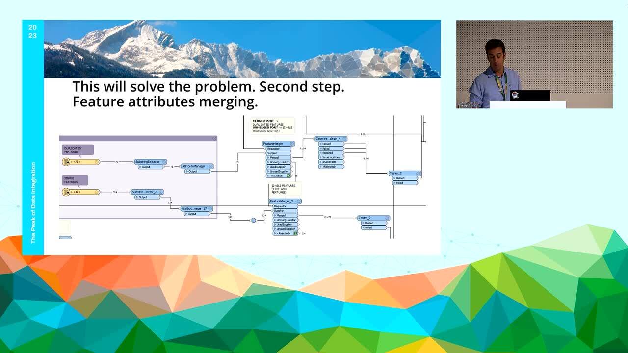
The National Geographic Institute of Spain (IGN) is the public institution in charge of the creation, maintenance and updating of the basic cartography at a scale of 1:50,000. At this scale, the Spanish territory is divided into 1,076 sheets that are updated every six months, as are the rest of the series that make up the basic cartography of Spain. FME has been used for the creation of an automated workflow that starts with the import of data from a PostGIS database and, through various decision methods, culminates with a cartographic output symbolized through MAPublisher, obtaining geoPDF files for each of the sheets.
In addition, it is worth mentioning that the publication of the map sheets is done in COG format (Cloud Optimised GeoTIFF) which, thanks to its high compression rate, allows for a great saving of space on servers. Currently, this workflow is being put together with the workflow of the map series at scales 1:25,000 as well as the latest product called High Resolution Map which allows a great level of detail fo buildings and roads. This will ensure that all map are generated at the same time with a single workflow and making minimal changes, making them available to the public simultaneously.
