Raster / Imagery
Convert raster data from a range of sources.
Discover hidden insights from imagery, grid based measurements and more.
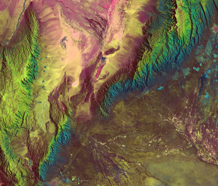
Integrate and convert all of your raster data from sources such as imagery, wind speed, barometric pressure and others.
Data Conversion
We can support and convert data from an endless amount of sources.
Data Visualization
Gain understanding by viewing converted data in the tool of your choice.
Automation
Save time by automating processes like stitching, change detection and data sharing, so everyone is always up-to-date.
Data Processing
FME’s flexible capabilities ensure that the data gets where you need it, when you need it.
Data Quality
Validate, clean and identify data quality issues for more efficient and reliable workflows.
Community Tools
Utilize the FME Community for simple support and ideas on how to grow your FME understanding.
FME supports an ever-growing range of data types.
As the data landscape evolves, FME continually adds support for new systems to ensure users can work with their data in the most efficient and effective way possible.
Non-profit, teacher or student?
We have Free Licenses available to help jump start careers or support your learning, research and charity.
Questions about the platform?
We love questions, discussions, and providing demos to help you get started on or to continue your data integration journey.
Join the FME Community
Our growing community has a wealth of FME knowledge with over 20,000 active members worldwide, where you’ll find everything from support to training.