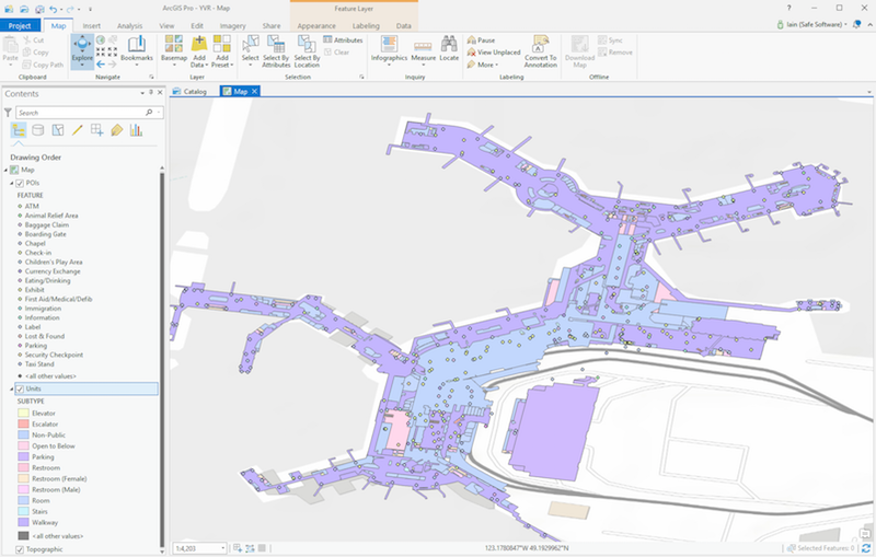
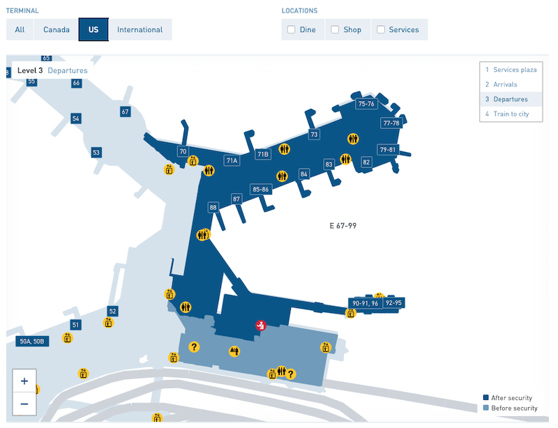
Vancouver International Airport (YVR), our hometown airport here at Safe Software, has won the SKYTRAX Best Airport in North America Award 14 times due to their world-class passenger experience. YVR was most recently named the best in North America in 2024, the only North American airport to break the top 20 list. To better help passengers navigate, they built a data integration workflow to combine their floor plans and asset/infrastructure data.
No-code data integration and automation for indoor mapping
To get a full picture of YVR’s indoor spaces, FME integrates data from numerous systems into their GIS, starting with the room shapes from CAD files. Using FME, the team combines location info data from Maximo and lease information from Propworks. The FME workspaces standardize and perform quality assurance and validation checks (QA/QC) while updating the data into an ESRI ArcSDE GIS database.

FME also imports operational point-of-interest datasets from SiteCore CMS, which powers the YVR website and public-facing map pages. FME Flow workspaces also ensure the nightly filtering, conversion, and aggregation of floor spaces into new datasets for various uses.
Terminal datasets are shared with various departments for review, including GeoJSON files for their Digital Twin app. An aggregated version is shared to YVR’s web team for the Leaflet basemap map on yvr.ca. With a converted POI dataset and geojson files of the terminal rooms, Atrius, a new partner of YVR, can use the data to work on YVR’s IMDF dataset for distribution to Apple and Google map platforms.

YVR is one of the first to provide its indoor mapping data to Apple Maps, and its GIS team has proven their innovation by providing a variety of ways to navigate the public indoor spaces of the airport using digital technology. The data greatly benefits both airport visitors and the YVR team, serving as a constantly updated single source of truth and helping them to manage assets effectively.


