Navigating the complexities of building a new wharf
From FY2010 – FY2019, Napier Port experienced solid growth in container volumes and bulk cargo exports. Along with the container and bulk growth, the port also saw substantial growth in the number of cruise ship visits. They needed to build a new wharf to support this growth.
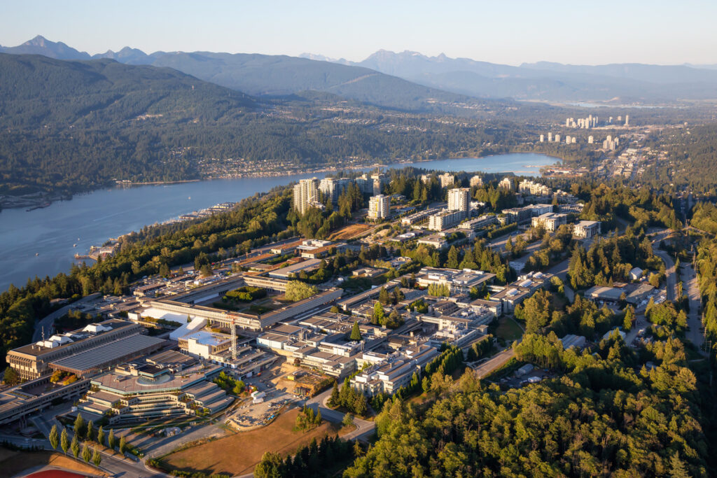
The construction of the new Te Whiti Wharf (or 6 Wharf) future-proofs the port, allowing it to handle more and larger ships and enhance operational performance.
During construction, Napier Port successfully balanced the ongoing demands of daily operations with enhanced safety and transparency, maintaining community engagement and building sustainably. This included the challenge of building the wharf in an environmentally sensitive area home to a population of Kororā, or little blue penguins.
During the three-year construction build, Matthew June, Infrastructure GIS Manager, achieved the work of a team, helping to track and manage these complex elements with FME.
Championing safety with the Port Activity Map
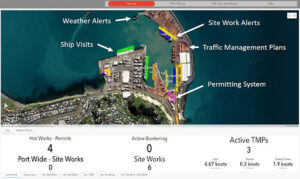
Supporting safe and efficient work while constructing the new wharf was crucial to Napier Port. With this in mind, they created the Port Activity Map so that users could see all port activity in one place and in real-time, replacing the previous email-based system.
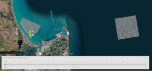
The interactive map displays site work, daily operations, environmental sensors, and ship traffic information in the port. FME integrates site works and permits data, shipping information, wind gauge data, and more behind-the-scenes, so all this data is centralized and easy to access for employees. Beyond the live map, time sliders allow users to plan future activities with the ability to look into the future for planned events.
Users can also see information such as the location of hazard storage sites, container stacks, and their contents. The current status and location of vehicles and work equipment are tracked via GPS and FME, and users can see if any servicing is required. With real-time access to up-to-date safety information, Napier Port ensures employees have the necessary information immediately and have a faster response time to potential safety issues.
Transparency with the community and managing environmental impact
Napier Port committed to ensuring the 6 Wharf project was beneficial for the wider community and was undertaken in an environmentally sustainable way. The port worked with a range of stakeholders to understand community views and inform their resource consent application before the project began, conducted significant scientific research on the marine environment, and followed environmental protection best practices. They used FME to help monitor and manage essential information that needed to be relayed to the community and help maintain the project’s integrity.
The port’s two-year capital dredging program ensured ships can safely use the new wharf. FME performed checks to monitor the dredging area and keep port employees updated via automated alerts, ensuring dredging was occurring in the correct locations. The port shared the map with regional councils and community leaders to promote project transparency.
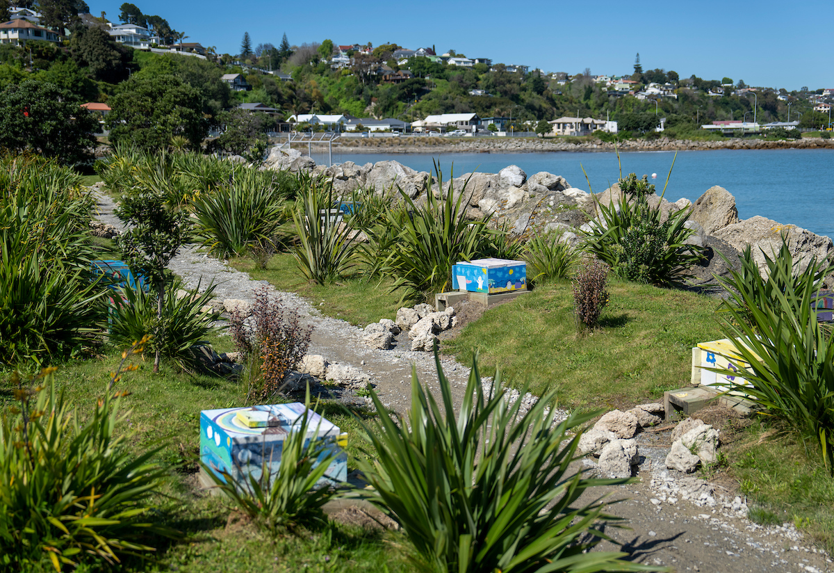
Protecting the little blue penguins
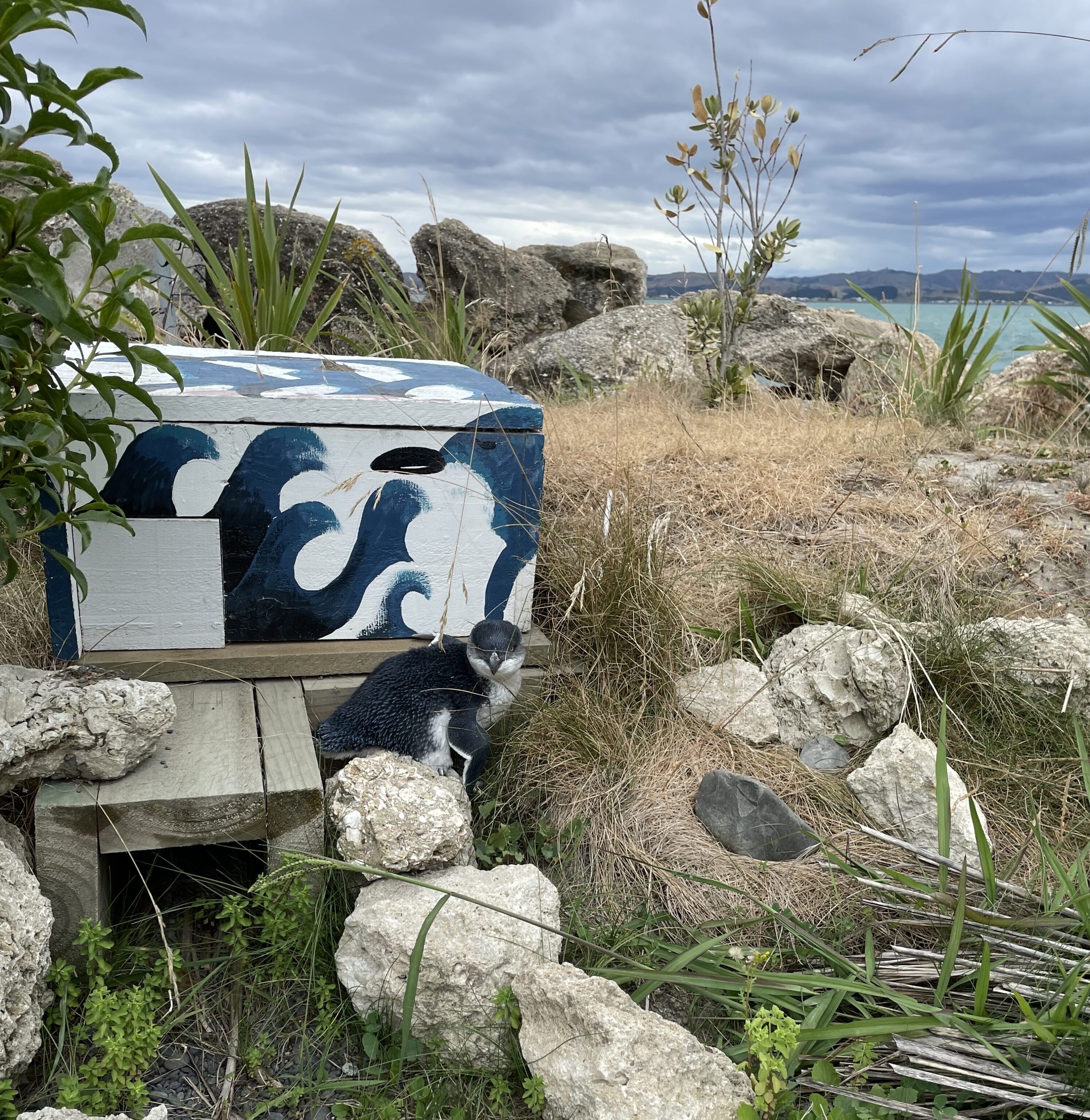
Dedicated to environmental conservation, Napier Port built the first on-port sanctuary of its kind in New Zealand to protect the little blue penguins (an at-risk and declining species).
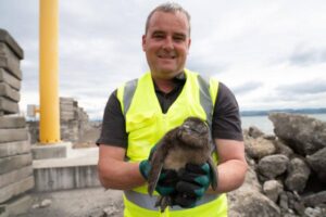
During the wharf’s construction, the port sanctuary and its nesting boxes provided a protected breeding area for the penguins. With support from the Department of Conservation and Massey University, the port tracked the penguins via GPS and displayed their locations and status on a public map. To date, almost three hundred penguins have been tagged to help track their health and movements.
With FME integrated into many key projects throughout the construction process, Napier Port addressed important environmental and safety challenges instead of focusing on repetitive, menial tasks. Employees achieved significant time-savings with automation and 6 Wharf was completed ahead of schedule and on budget.
The port continues to utilize the Port Activity Map in its day-to-day operations and monitor the penguins for ongoing research purposes. Next, Napier Port is looking to further involve all employees in GIS and expand FME across their organization.