NamPower wanted to enable staff to see critical data at all times from any device and location
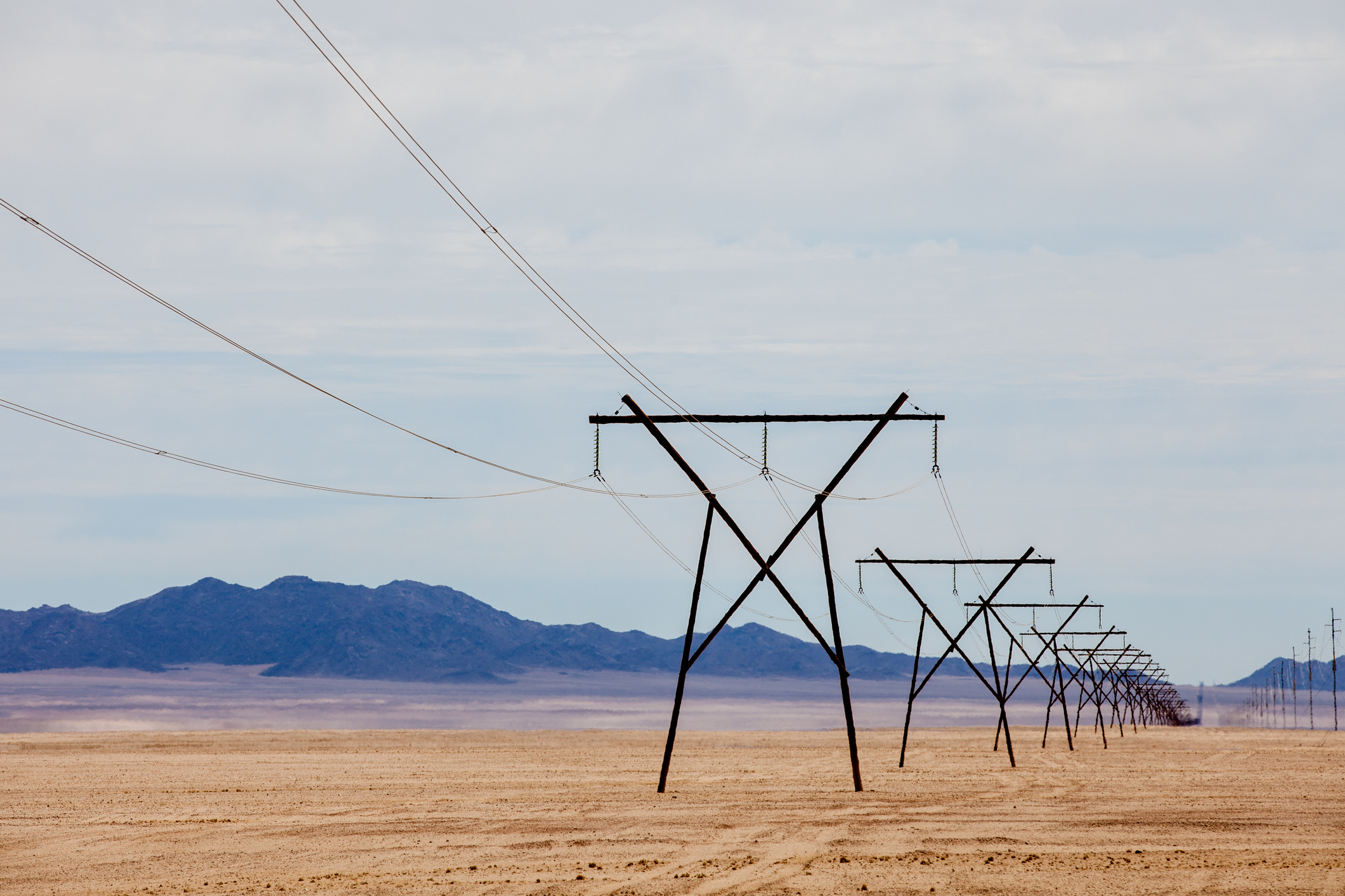
Namibia’s national power utility, NamPower, has a world-class transmission system and one of the world’s longest networks of overhead power lines. Maintaining such an extensive network requires multiple applications, systematic data analysis, and constant decision-making.
But making quick decisions in emergencies was difficult due to data locked inside applications that licensed members could only open. This meant team members could not access the data outside the office and that staff in the field did not have access to critical information.
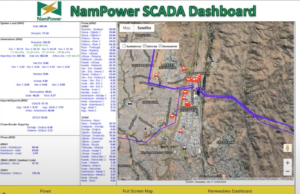
NamPower needed to build a Supervisory Control and Data Acquisition (SCADA) dashboard to enable staff to view and analyze live powerline activity using the web.
How they made it possible – using the #1 tool for spatial data integration
NamPower used FME to integrate spatial data from multiple sources, including powerline voltage and power plants from their existing microSCADA system, network data from Smallworld GIS, and vehicle GPS data from a cloud database API. FME displays this on an HTML web page with an interactive Google Map and keeps it up to date with new information.
The dashboard provides an integrated view of all information and enables staff to see power flows via the web. Engineers can view critical data and make decisions in the field. Following the success of this project, NamPower is also using FME to connect asset data collected in the field with their master GIS. FME automatically validates data from Azure Cosmos before adding it to Smallworld on a weekly cadence, ensuring staff access to the most current information.
Watch the presentation to learn more.


