Transforming complex data into actionable insights
Effective data management and visualization are essential for informed decision-making and operational efficiency. This is especially true in the mining industry, where data sources, regulations, technologies, and operational conditions are constantly evolving.
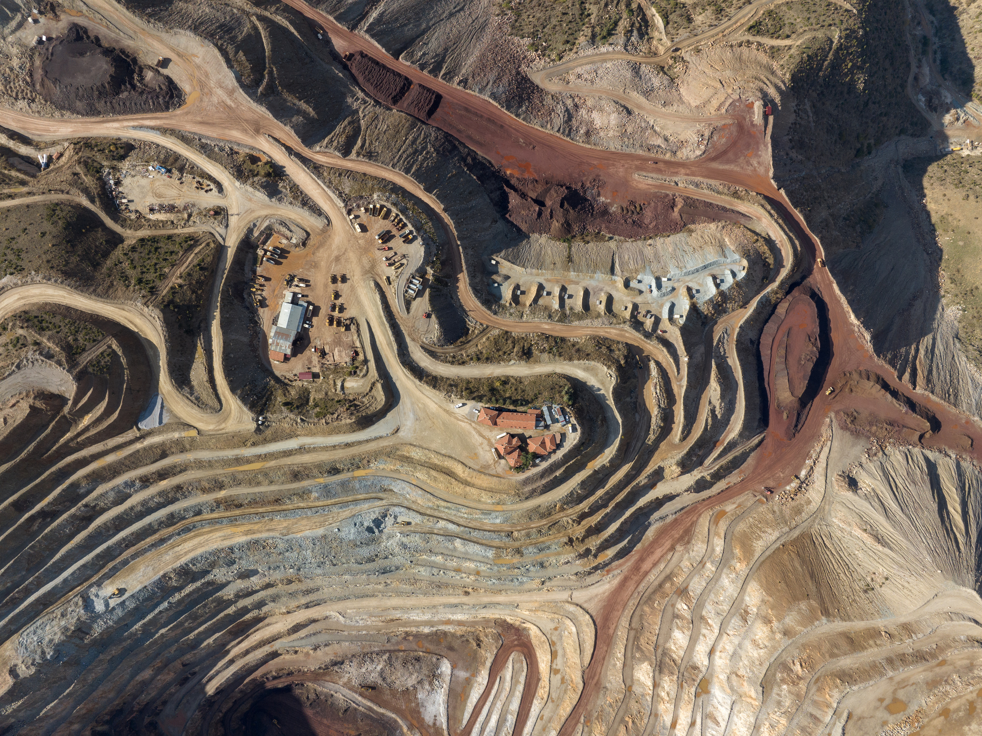
Pinchin, an environmental and engineering consulting firm, had to address significant challenges associated with the management of large, complex datasets for its mining client. Data validation was time-consuming and inefficient, with information arriving from multiple sources in inconsistent formats and schemas. Legacy systems further complicated the process, with data spread across hundreds of tables and millions of records that had never been fully integrated. These issues made it difficult to ensure accuracy and reliability, slowing down workflows and limiting the ability to extract meaningful insights.
This challenge was further intensified by the scale of the project. Pinchin was working with over 6 million geochemical records across 60 sites and 12,000 stations, alongside continuous inflows of inconsistent lab data, making manual processing and validation increasingly difficult.
For many organizations, validating and visualizing large volumes of project data remains a significant challenge. Siloed systems, manual workflows, and inconsistent data formats make it difficult to maintain accuracy and reliability, often slowing analysis and impacting decision-making.
To overcome these challenges, Pinchin turned to FME to transform, validate, and integrate massive, complex datasets into actionable insights that drive strategic planning and operational efficiency.
FME for data transformation, formatting, and validation
FME’s automation capabilities are key to efficiently managing large-scale data. By streamlining processing, transforming, and validation, FME significantly reduces manual effort, optimizes performance, and ensures data accuracy. For Pinchin, this meant transforming and validating over 6 million records in under 5 minutes, turning their unstructured data into reliable, manageable information.
“FME acted as my assistant in identifying and diagnosing data-related issues. It helped uncover inconsistencies, format mismatches, and integration problems across various datasets.” – Foroogh Beik, Geomatics Data Manager, Pinchin
Integration with ArcGIS for real-time data visualization and spatial analysis
In industries that generate vast amounts of data daily, effective visualization tools, like charts, graphs, and geographic representation are critical for helping stakeholders quickly recognize trends, risks, and opportunities.
Leveraging FME’s 1,000+ integrations, Pinchin connected its validated data to ArcGIS. This enabled teams to automatically track updates and instantly access the most current information through an interactive, custom-built web app.
Through this integration, Pinchin delivered a scalable solution that supported visualization across more than 60 sites and 12,000 groundwater stations. Stakeholders gained interactive, up-to-date access to project data, improving situational awareness and empowering data-driven decision-making.
Committed to driving innovation, Pinchin ensures its clients have access to cutting-edge solutions that deliver efficiency, reliability, and clarity from even the most complex datasets.
By leveraging FME, Pinchin transformed a massive dataset into a scalable, reliable system that not only supports data-driven decision-making and real-time visualization but also keeps teams agile by enabling them to quickly adjust workflows, integrate new data, and respond to challenges without delay.
“FME is a powerful tool for any industry dealing with data. Whether spatial or non-spatial, tabular or non-tabular data, organizations across different sectors can leverage FME to streamline workflows, automate data integration, and enhance decision-making.” – Foroogh Beik, Geomatics Data Manager, Pinchin