This work was done in collaboration with Safe Software partner 1Spatial Group Limited.![]()
Improving asset visibility and operational efficiency
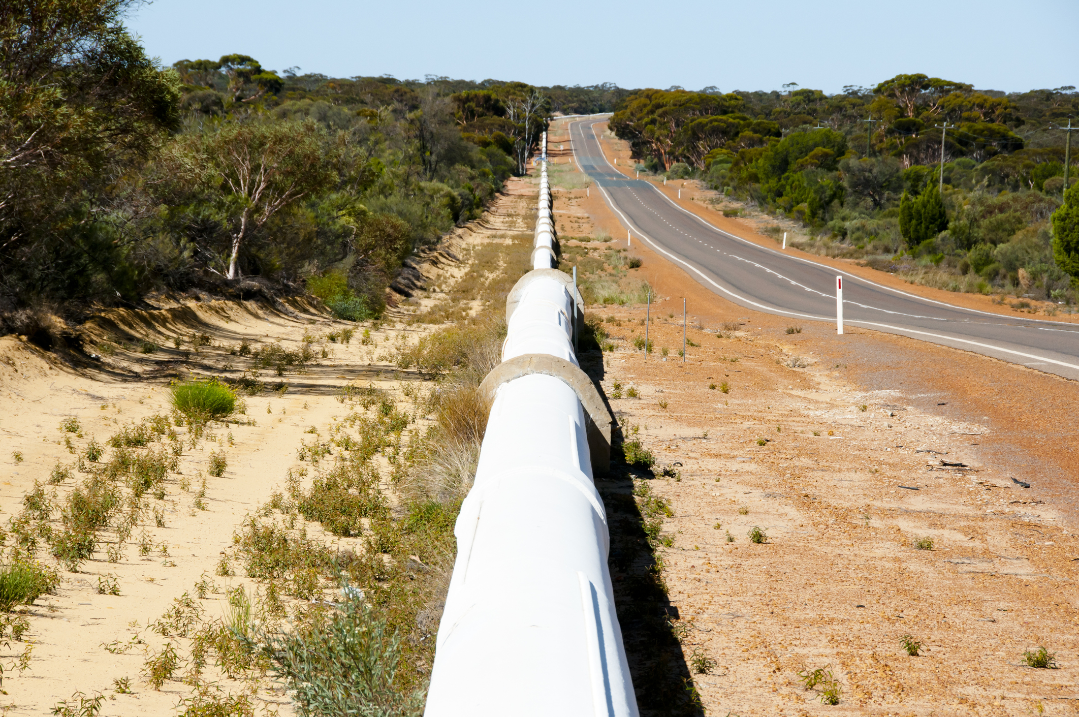
Sunwater is an Australian bulk water provider that owns and operates a network of storage and water supply schemes across Queensland, delivering around 40% of the region’s commercial water. Supporting regional growth requires reliable service delivery, strong asset management, and access to accurate, timely data.
To support these operations, Sunwater uses SAP for enterprise resource planning (ERP) and asset management, alongside its GISMO viewer, built on ArcGIS, for geospatial insight. However, these systems previously operated in silos, limiting integration and reducing the effectiveness of location-based data in day-to-day operations.
Overcoming inconsistent asset data across systems
Following an upgrade to SAP S/4HANA, Sunwater introduced the Geographical Enablement Framework (GEF) to improve how field teams locate and manage assets. This enabled asset locations to be accessed on mobile devices, reducing reliance on local knowledge and improving field accessibility.
However, discrepancies quickly emerged. Asset location data between SAP and GISMO varied by 20 metres to over 1,000 metres, creating inefficiencies and potential safety risks for field teams working in remote or overgrown areas.
Further investigation revealed that the systems used different coordinate systems, requiring accurate transformation and validation to ensure reliable asset positioning across platforms. To address this, Sunwater turned to FME to standardize and validate geospatial data across systems, ensuring consistency before it was used in field operations.
Enabling seamless integration with FME
Sunwater evaluated several integration approaches, including custom development. Through proof-of-concept projects, FME was used to integrate SAP S/4HANA with ArcGIS and to connect ArcGIS with Salesforce.
“FME was the most seamless and cost-effective approach,” said Anderson Zapata, Solutions Architect at Sunwater. “The two projects demonstrated the need to introduce an integration tool into Sunwater’s enterprise environment, and both of them have been running successfully ever since.”
FME now handles the transformation and synchronization of geospatial data across systems, ensuring alignment between SAP, ArcGIS, and Salesforce. Built-in validation processes check data for formatting, timestamp consistency, and schema alignment before it enters downstream systems, improving overall data quality and reliability.
Delivering accurate data and measurable efficiency gains
By integrating SAP, ArcGIS, and Salesforce, Sunwater established a connected and reliable data environment that supports both office and field operations.
Field teams can now accurately locate assets using mobile devices, improving efficiency and reducing risk in remote environments. With access to consistent, validated data, teams can confidently complete inspections, link work orders, and identify additional nearby tasks.
This integration has significantly improved productivity, with field staff saving 1–3 hours per job by eliminating the need to manually locate assets and reconcile data. Automated validation has also improved data accuracy and consistency, ensuring that only high-quality information flows across enterprise systems.
By connecting critical systems and standardizing data, Sunwater has enhanced operational efficiency, strengthened asset visibility, and enabled more informed decision-making across the organization.