

How to debug FME Workflows: A step-by-step guide
Safe Software Product Blog
Discover insights on FME products including trends, technical tips and tricks, and use cases. Explore how geospatial technologies and automation are shaping the world around us.
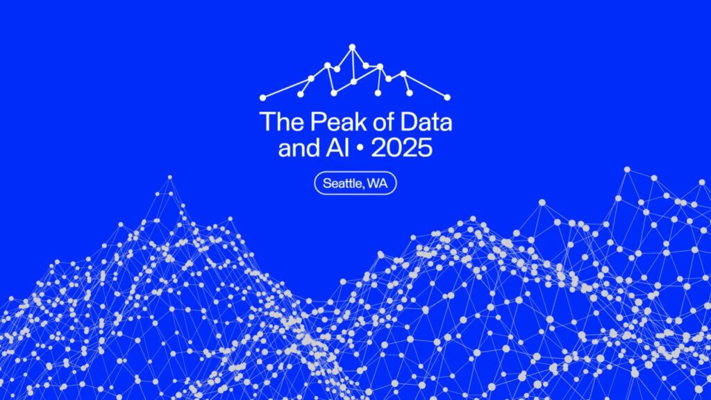
10 Things to do in Seattle during Peak of Data & AI
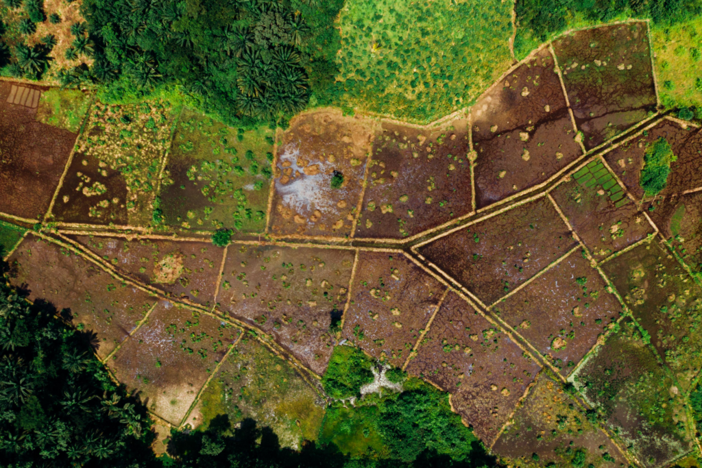
Why FME is the best tool for parcel data: 4 examples that prove it

ChatGPT + FME: Transforming text into spatial data

AI Data Integration: Unlocking insights with FME & Google Gemini

5 presentations to watch at Peak of Data & AI 2025

7 ways utility companies use FME data Integration to deliver better services

Five building blocks for FME success

FME around the world: Transforming data into impact in Europe
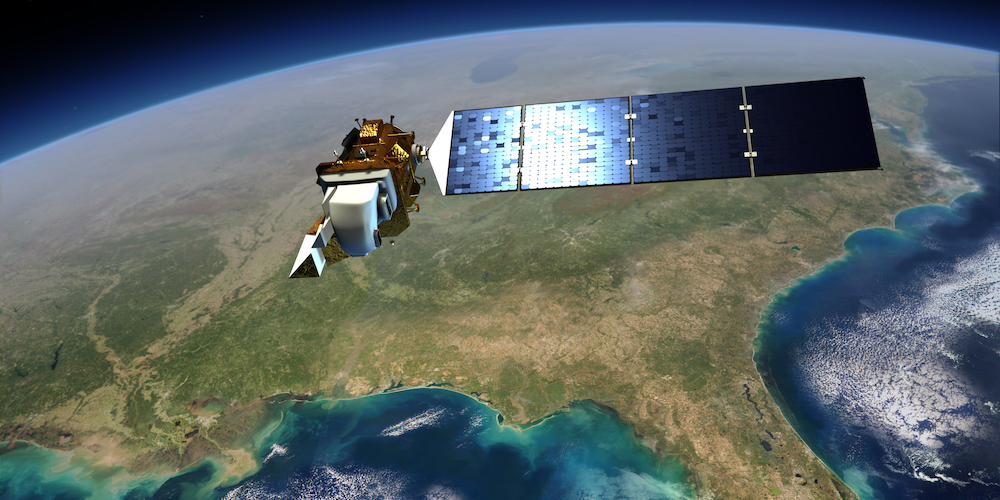
Unlocking insights from raster imagery with FME

[Contest] The 12 Days of FME virtual balloon race!

Learn how to maximize your data and minimize your efforts with FME.
Join our free and interactive workshop to learn how to make the most use out of your data with FME. The FME Accelerator will show you the basics of how to automate your data integration workflows and connect to 450+ formats.
Questions about the platform?
Find the sales information and answers you need to continue your data integration journey.
Pricing, with a difference.
Long-term partnerships over short-term profit. Learn how we can deliver unrivaled value to you.
Join the FME Community
Connect with over 20,000 active members worldwide and tap into a wealth of FME knowledge.