
This work was done in collaboration with Safe Software partner Graphland.
At BIM World 2026 in Paris, Safe Software partner Graph Land presented a workflow connecting site surveys, BIM modeling, and on-site visualization, with FME Realize playing one specific role: bringing project data back to the field.
The problem: data that doesn’t talk to itself
On a renovation or construction-monitoring project, data piles up fast: point clouds from laser scans, existing DWG drawings, IFC models, GIS layers, and field surveys. Each tool does its job well, but the formats don’t communicate with each other. The result: models disconnected from the actual site, time-consuming manual back-and-forth between software, and data that teams stop trusting the more it passes from one tool to another.
This was the challenge Graph Land explored during its workshop at BIM World 2026, led by Julie-Alisson Ducros. Rather than looking for a single tool meant to cover everything, the approach is to bring together interoperable tools that work seamlessly with one another, without breaks between systems.
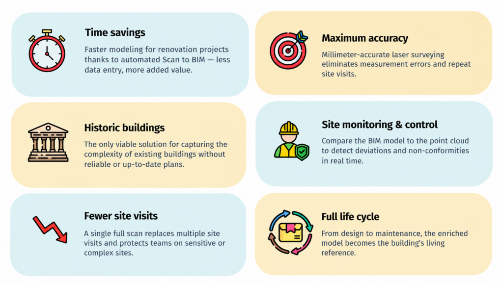
The idea was to create a “BIM Continuum” :
Five steps, field to field
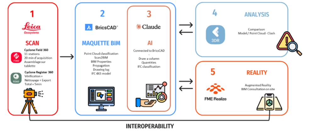
1. Site scan (Leica Cyclone FIELD 360)
Capturing the building or site under real conditions.
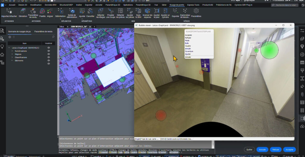
2. BIM modeling (BricsCAD)
Turning the point cloud into a usable model through Scan2BIM, IFC structuring, native DWG workflows, and quantity takeoffs.
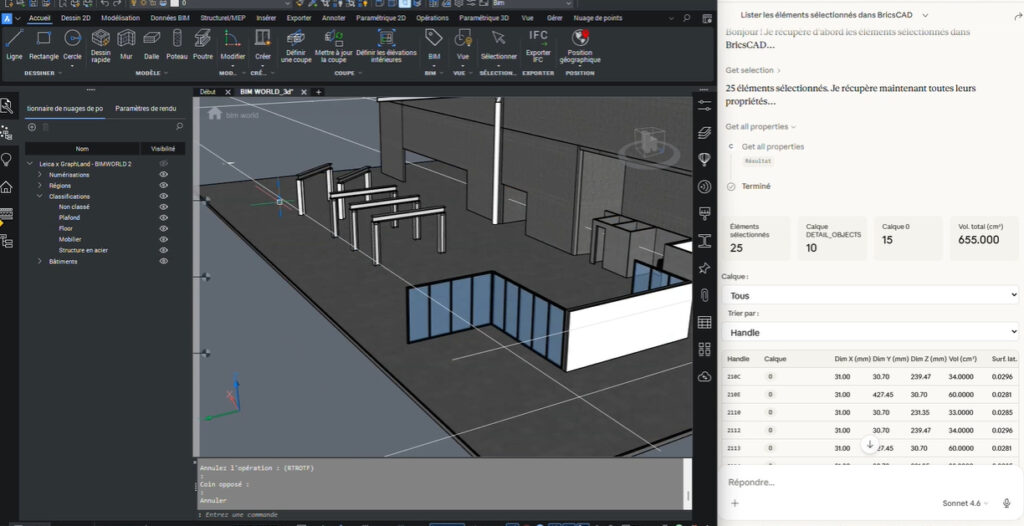
 3.AI assistance (Claude)
Automating repetitive tasks and enriching BIM content.
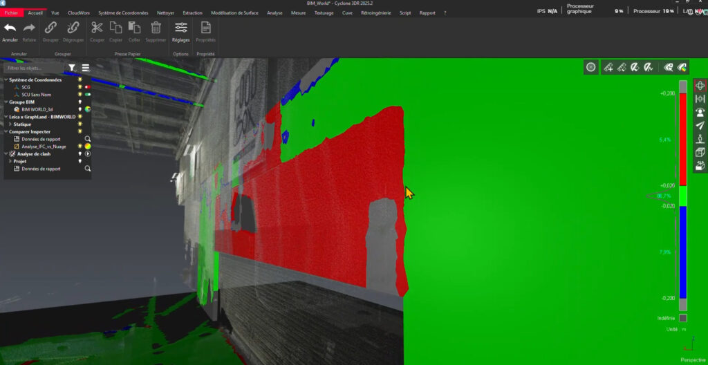
 4.Quality control (Cyclone 3DR)
Comparing the point cloud with the model to detect deviations and clashes.
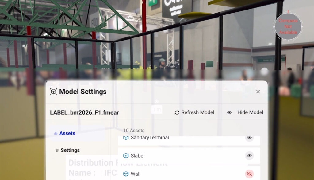
5.On-site augmented reality (FME Realize)
Overlaying the model onto the real environment for construction monitoring and field verification.
The first four steps happen at the desk. FME Realize is the only one that brings the model, enriched and validated, back to the field through augmented reality. Without this step, the workflow remains a desk-based process. With it, teams can verify project data directly on site.
That’s what Graph Land means by a “continuum”: not simply a sequence of connected tools, but a complete round trip between the field and the office, where each technology supports a specific stage of the workflow. FME Realize completes that journey by bringing verified information back to where it is needed.
Interoperable tools
The choice of BricsCAD, Cyclone 3DR, and FME comes down to a practical constraint more than a preference. On complex projects involving renovations, heritage buildings, or workflows that combine BIM and GIS, forcing everything into a single closed platform simply moves the disconnect elsewhere instead of solving it. Interoperable tools that fit into existing environments help avoid that problem.
FME, with its ability to read and transform most industry formats, acts as the interoperability layer between each step. FME Realize extends that interoperability into the field.
The full workshop replay is available on Graph Land’s website: Building a CAD/BIM Continuum: Reality and Interoperability (available in French).
Learn more about FME Realize
FME Realize extends the power of the FME Platform into spatial computing, putting your data in the real world. It enables field teams to visualize and interact with data through augmented reality (AR), helping them make smarter decisions where it matters most.
Learn more about FME Realize and its capabilities