![]()
This work was done in collaboration with Safe Software partner Consortech
Managing parcel data comes with unique hurdles: integrating diverse systems, ensuring data accuracy, automating processes, and collaborating across teams. At Consortech, we’ve helped many clients turn these challenges into opportunities for growth and efficiency.
Here are a few examples of what’s possible when FME meets parcel data management.
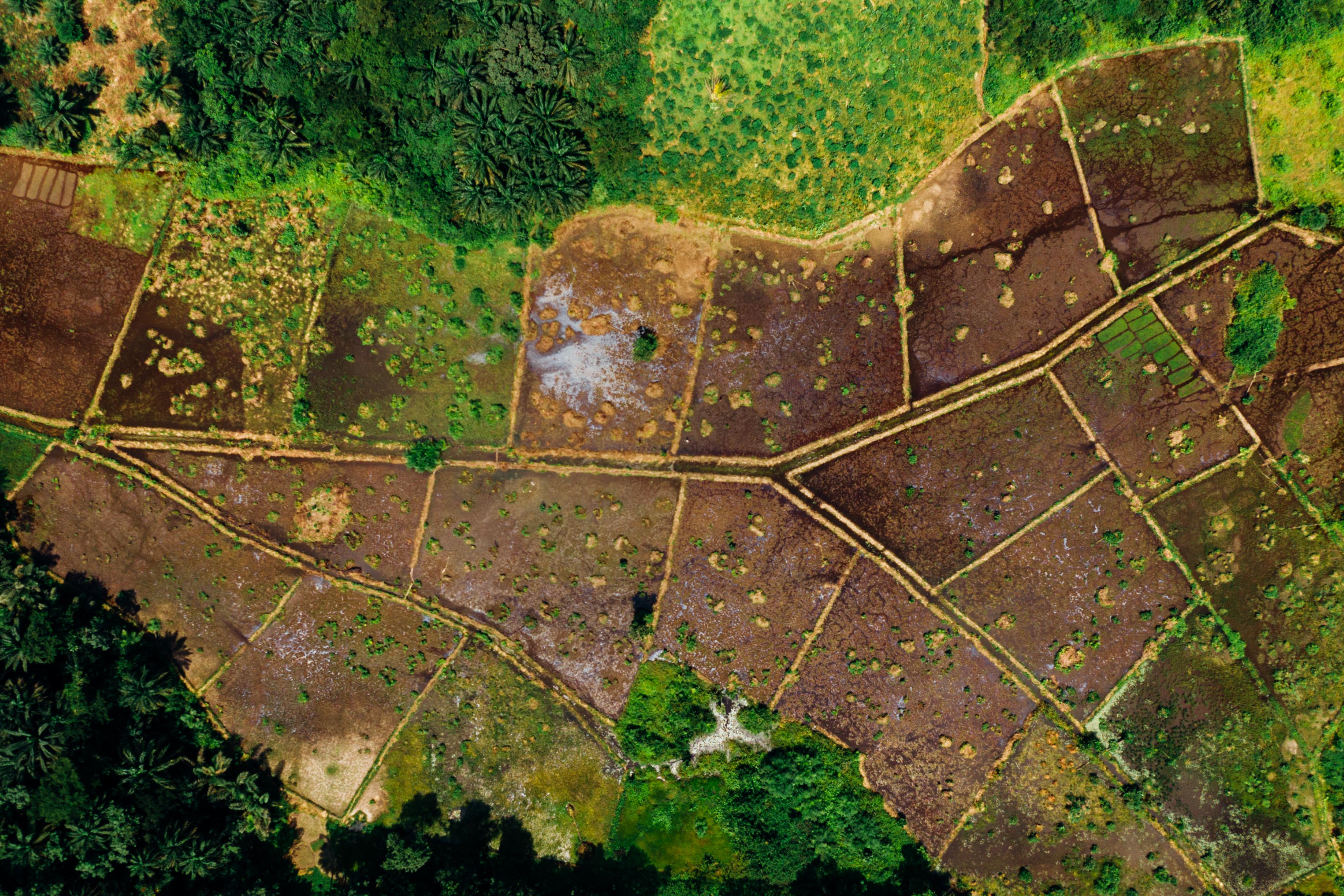
1. Streamline crop compensation processes
A land management team needed to compensate landowners for infrastructure impacts but relied on outdated tools that were inefficient and difficult to maintain. The transition to FME resulted in:
- Faster processing: Eliminated reliance on third-party integrators.
- Transparency: Visual tools that clearly identify affected areas, fostering trust with landowners.
- Enhanced team autonomy: Adopted a low-code/no-code approach that empowers teams to independently understand, manage, and refine the application’s business logic without relying heavily on external support.
- Scalability: A foundation for initiating compensation processes directly from the field.
In short, the client saved time, reduced costs, and improved relationships with stakeholders.

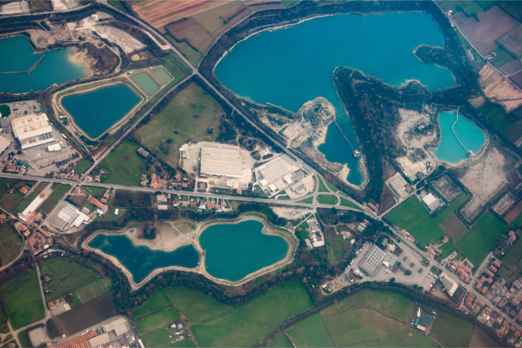
2. Create a unified “Single Source of Truth” for easements
A utility provider faced challenges with its mapping tool, which could display parcel intersections but lacked robust reporting and data extraction capabilities. By leveraging FME, they achieved:
- Improved data accuracy: Cleaned and standardized geometries from multiple formats for better spatial alignment.
- Comprehensive historical records: Built a unified dataset to track all parcel intersections with easements over time.
- Enhanced visualization and reporting: Enabled seamless generation of reports and visualization of land and cadastral data within the platform.
The result? A powerful “single source of truth” for land management needs, empowering the client to make informed decisions with confidence.
3. Automate parcel management with modern tools
A public agency managing a national land survey system needed to modernize its data processes, which were heavily reliant on manual Python scripts. With FME, they implemented:
- Automated workflows: Designed a scalable architecture using FME to streamline and automate data processes.
- Future-ready systems: Facilitated the migration from legacy tools to the modern ArcGIS Parcel Fabric model.
- Simplified operations: Reduced reliance on complex Python scripts, making the system more user-friendly and efficient.
These enhancements have prepared the organization to meet evolving demands while ensuring efficient and accurate parcel data management.
4. Key benefits of cadastral data management
For municipalities, utility providers, and public agencies, effective parcel data management can provide:
- Improved Decision-Making: Visualize spatial data to plan infrastructure projects effectively.
- Proactive Planning: Stay ahead of development needs with accurate, up-to-date data.
- Compliance: Ensure alignment with zoning, land use, and regulatory requirements.
- Accurate Taxation: Enhance property valuations for fair and efficient tax collection.
- Streamlined Easement Management: Simplify infrastructure maintenance and expansion planning.
By leveraging FME, organizations can enhance their parcel data management, improving efficiency, accuracy, and decision-making.
Learn more about the ways FME can help you by visiting the solutions page. Check out Consortech’s partner page to discover more about their journey with FME.