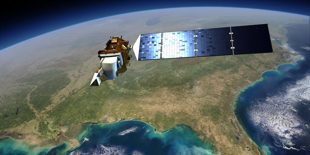
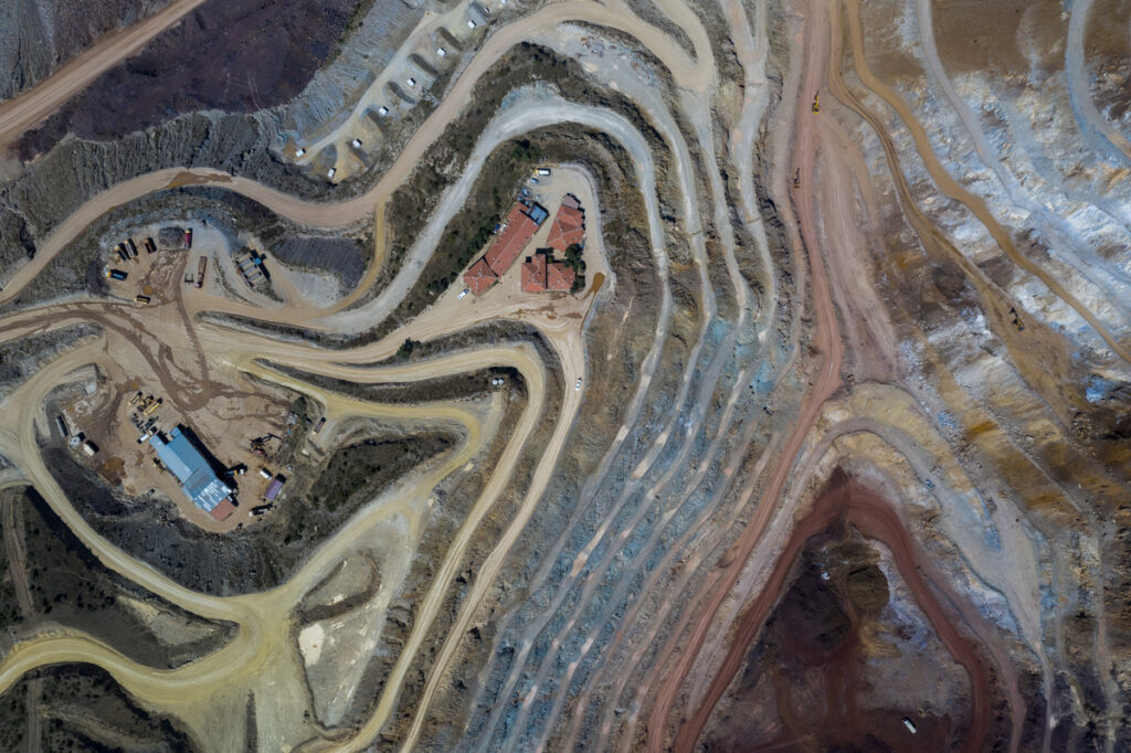
Geospatial imagery—captured by satellites, planes, drones, or other technology—holds a wealth of useful insights for professionals across industries. However, extracting insights can be challenging due to enormous data volumes and the complexity of gathering information from raw pixels. Plus, imagery comes in various formats, from standard JPEGs to specialized GeoTIFFs and proprietary file types, each containing bands, palettes, and metadata. So where do you start?
Fortunately, FME streamlines image processing with its advanced functionality and no-code interface, including over 50 raster transformers, support for hundreds of formats, AI integration, and automation capabilities. FME efficiently handles large data volumes and simplifies complex workflows. Read on to explore all the resources available to help you extract value from imagery using FME.
The basics: What is geospatial imagery?
An image is a type of raster, which is the geospatial term for a grid of pixels.
In an image, each pixel represents a color (RGB) or degree of shading.
Rasters can also represent numeric data, such as a Digital Elevation Model (DEM) that stores elevation values in each pixel.
Key raster terms include bands and palettes. Imagery usually contains three bands: Red, Green, and Blue. Each band contains palettes, which map the pixel to a color or value.
🧑💻 Dive deeper into raster fundamentals in our Imagery Basics article. It provides a technical overview, including terminology, raster concepts, and how rasters are handled in FME.
Processing imagery: Essentials for actionable insights
Transforming raw imagery into meaningful insights starts with a data integration workflow. For example:
- Convert imagery into structured, spatially aligned data that can be easily analyzed.
- Connect to AI or deep learning models for advanced feature detection, pattern analysis, and more.
- Transform images using common raster operations, such as clipping, reprojecting, resampling, or mosaicking.
In FME, transformers can be used to integrate, process, analyze, and transform imagery into useful outputs. Workflows can then be automated using FME Flow to generate insights as needed.
🧑💻 See our Common Imagery Tasks article to learn how to manage bands, resize rasters, perform calculations on pixels, and optimize large maps with pyramiding.
NEW for 2025! More image transformers in FME
FME now includes four new transformers to elevate image processing capabilities:
- ImageWatermarker – adds a watermark to the image
- ImageIdentifier – uses AI to identify what the image contains (designed for use with Ollama)
- ImageColorAdjuster – adjusts image properties like brightness and gamma
- ImageryHalor – creates a halo effect around an image for a smooth transition to the background
🧑💻 Learn more about these new transformers in the article New Transformers for Imagery in FME.
Keep Learning
We have a lot of resources available to help you get started with raster data, including tutorials, webinars, and our great community. Check out the following resources to keep learning:
[FME Support Center] Raster and Imagery Data
[Article] Image Compression in FME
[Webinar] From Pixels to Insights: Getting Started with Imagery in FME


