
Spatial databases are a crucial technology for any company that needs to manage assets, resources, people, and any other data that includes a location or a geographic component. This blog post will cover 7 companies who use spatial databases to optimize data.
Why Do Companies Use Spatial Databases to Optimize Data?
Whether a spatial database is used as a central repository for assets or as a single piece of a complex workflow, leveraging spatial databases enables companies to:
- Increase data quality and accessibility by centralizing and/or synchronizing all data
- Save time and money by processing new data automatically, like design submissions, weather alerts, and drone imagery
- Generate insight by consolidating all available information and preparing it for business intelligence (BI) and reporting software
Common spatial databases include Esri Geodatabase, Oracle, MariaDB, Snowflake, Amazon Aurora, and others.
7 Companies Who Use Spatial Databases
Let’s look at 7 examples of how companies have used spatial databases to optimize their data and gain crucial insights. Here are 7 companies who use spatial databases to optimize data:
This blog follows from our previous article, “Top 7 Spatial Databases to Consider for Your Enterprise”.
1. Visimind: Geodatabase inventory of power grid assets
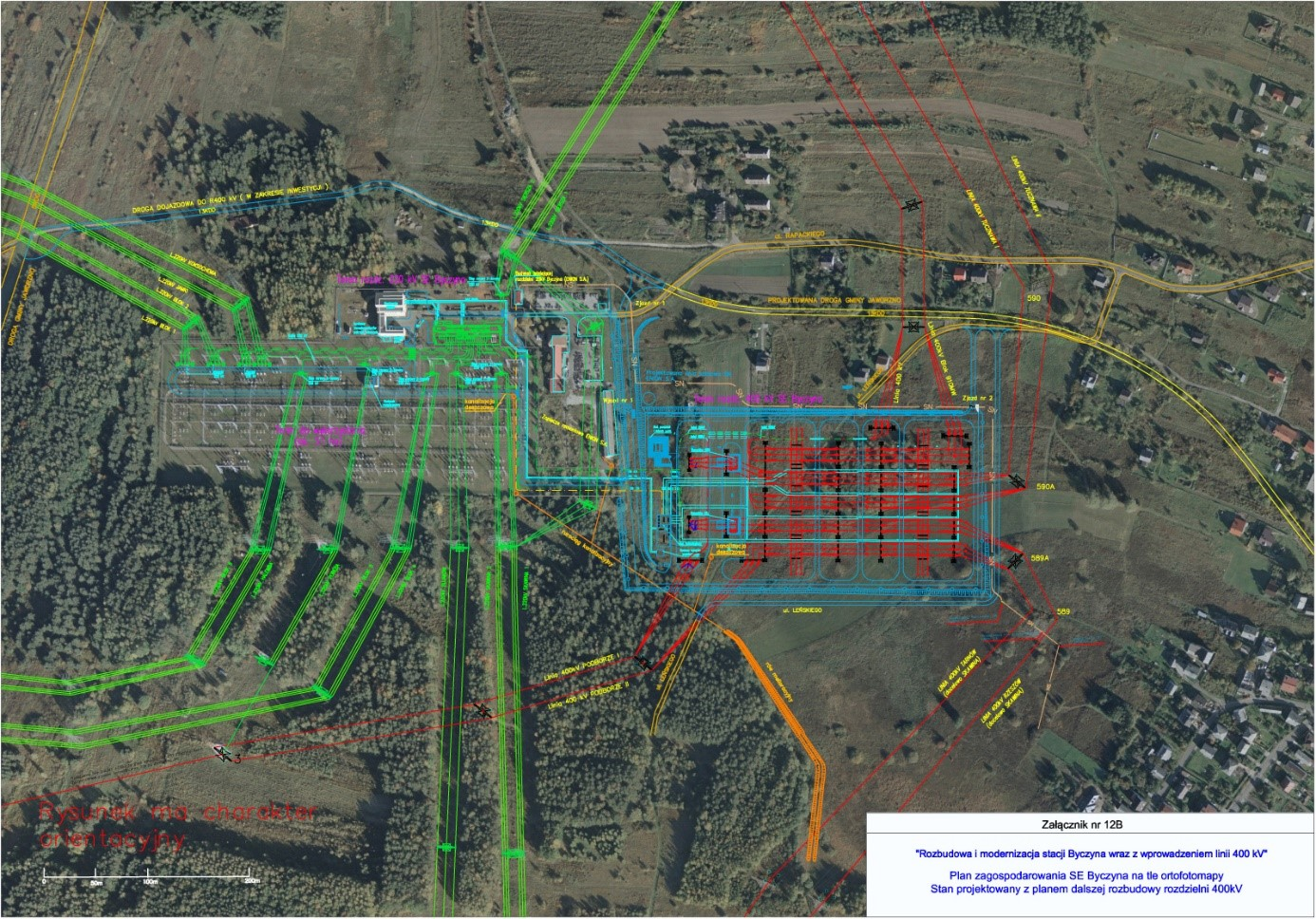
After Polish Power Grids commissioned photogrammetry flights over their power lines and stations, Visimind processed and generated value from over 10 TB of data using FME. One of the products they created was a geodatabase inventory of all objects on the orthophotomap. This includes roads, buildings, powerlines, and electric equipment.
2. EEDC: Mapping electrical assets and consumers
Enugu Electricity Distribution Company (EEDC), an electricity distribution company in Nigeria, created a rich asset information system and indexed all consumers in their network in spatial databases using FME. Their data includes building footprints, stations, poles, lines, billing information, customer information and geolocations, and more. The system lets them evaluate their electrical assets for fault reporting, tracking, tracing, and analysis. As a result, they’ve been able to increase their customer base and grow their revenue. They have also managed to mitigate electricity theft and leakages, and better market their services by geography and transformer.
3. London Fire Brigade: Optimizing routes, assets, and staff
The London Fire Brigade and 1Spatial consolidated their data into a spatial database and automated the process of updating travel times between stations using FME. They can now generate efficient routes and optimize travel times when their staff respond to emergencies. Another benefit is the ability to distribute people and assets between stations. This technology resulted in 95% faster processing of route queries, eliminated the risk of manual error, and freed staff to focus on other tasks.
4. IHS Markit: 1.5 billion data features for business intelligence
IHS Markit migrated 1.5 billion rows of data to Snowflake so they could have a central database for BI users to access. To create the Snowflake warehouse, they deployed FME on Kubernetes and used parallel processing to distribute the ETL task across multiple engines. This enabled them to complete the migration in only 5 hours, and now the database is available for end users to access.
5. Forsmark Power: Integrating disparate data into a secure central database
Forsmark and Sweco integrated nuclear power plant data into a single database using FME. Data from disparate sources like AutoCAD, Shapefile, Excel, Revit, and IFC are integrated and transformed using FME, and then stored in Oracle. The process is automated so data stays up to date, and the results are shared in a highly secure, authenticated web map.
6. Eau 17: Validate and consolidate submitted topographic maps
Eau 17, a water distribution service in France, uses PostGIS as a central database for topographic plans, which is used to populate their web map. They used FME to automate a complex process of performing quality control and ETL for topographic maps submitted by surveyors. Data is automatically loaded into their central PostGIS database, greatly reducing the time and effort required by their old workflow.
7. UDOT: E-Ticketing system for materials and assets
The Utah Department of Transportation created an e-ticketing system for materials data, which made for a more efficient, safe, and accurate ticketing process. In an automated system powered by FME, materials suppliers can submit e-tickets, while inspectors can access and edit ticket information on their mobile devices. Tickets are automatically integrated into an enterprise geodatabase.

By leveraging spatial databases as part of a complete data integration platform, companies can save time and money, improve data quality, generate insight, and make information more accessible to stakeholders. These are 7 companies who use spatial databases to optimize data. Check out these resources to learn more: