MapTextLabeller: Automating Cartographic Labels in Denmark

A few weeks back, I was staring at the bank of twelve light switches by my front door, trying to remember for the umpteenth time which one would turn on the exterior lights and which one would turn off the ceiling fan. After (as always) hitting at least four wrong ones before finding the right one, I jumped in the truck and headed over to the local office supply store to acquire a label maker.
An afternoon spent fiddling with font sizes, label widths, and sticky backing produced a house full of precisely placed, concisely descriptive labels on all the switch plates. Or, if I’m being completely honest, a house full of slightly crooked, obscurely abbreviated labels that nobody but me will be able to decipher. In any case, mission accomplished, and the label maker went into a drawer from which it may never emerge again.
Peter Laulund needs to label stuff too. As an FME Developer at the Danish Geodata Agency (GST), his labeling task is a lot more complicated than a handful of light switches. And on top of being complicated, he can’t just do it once and put his label maker in a virtual drawer – things change every day.
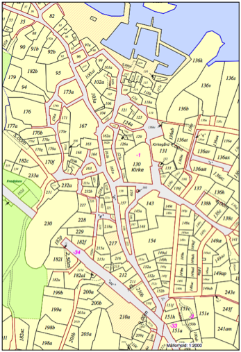
A bit of history – about six years ago, the GST got a new cadastral system, moving from DGN data storage (with lots of cosmetic touches – including labels – stored right in the file) to the new system, which is XML-based. The transition meant that they needed something to handle cartographic label generation, which MapText did quite nicely. As a long-time FME user, Peter connected the dots and also connected Safe and MapText – producing a rudimentary custom tool that GST has been using since 2008 for labeling.
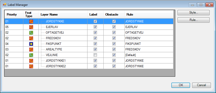
Fast-forward to FME 2013 and the release of the MapTextLabeller transformer. Peter’s group has updated their workflows to incorporate this new addition, and the results are fantastic. The MapTextLabeller is also based on MapText’s technology, but as a full-blown FME transformer, provides an interface to feature type configuration, prioritization, styles, and rules – right in the workspace.
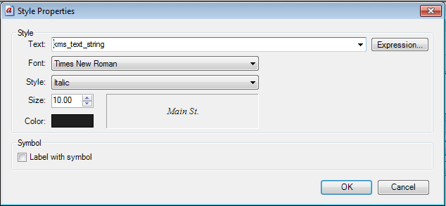
Every day, the entire country of Denmark is reprocessed. The cadastral system is divided into 9,033 districts, and around 20 to 100 of those will show changes on any given day. The FME Server-based workflow extracts the changes, re-labels them based on pre-defined rules, and pushes the results to an Oracle database – every day. By automating this step, cosmetic labels are always available and up to date in the standard data distribution, and a complete historical record of changes is maintained.
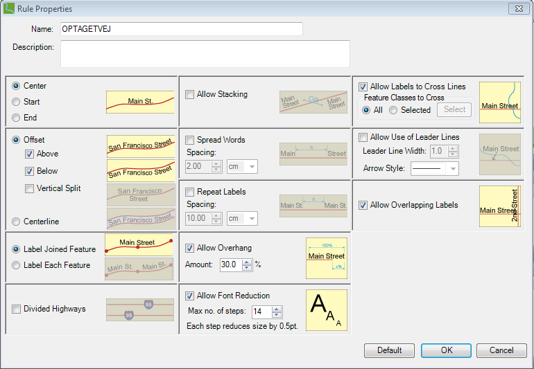
“We’ve been running the new workflows on the server for some months now,” says Peter, “and Safe and MapText did a great job. This is a critical system for us, and the configuration and rules are quite easy to use.” If you’re interested in getting into the details of Peter’s work, join us at the upcoming FME International User Conference 2014, where he will be presenting FME and LabelEZ – When 1 + 1 = 3. Hope to see you there!


