Sensing Disruption at GITA 2010


Last week I did the Canadian Snowbird thing and headed to Phoenix for GITA 2010, the Oracle Spatial User Conference, and a rather lopsided NHL Game 7. I came home, not only with a souvenir ticket, but also with a solid sense that we will have plenty to do to cope with the continued stream of new data formats and the impending LiDAR tsunami.
Another Day, Another Format
Though I wasn’t able to see it myself due to scheduling issues, Peter Batty’s panel discussion was the buzz of the GITA conference (Joe Francica’s write-up of it is a must read, and *UPDATE* Peter has posted a video of the discussion on his blog).
From this panel discussion, I particularly enjoyed OSM-founder Steve Coast’s colourful question about why there is so much “goofing” around with formats in light of the next day’s announcement of a new OSM binary file format!
The announcement gives a good description of why there is so much goofing around with formats: different application scenarios impose different requirements, and hence it is nearly impossible for one format to rule them all. And yes, the announcement does seem to provide confirmation that “all of this has happened before and all of it will happen again”.
So, another format for us to track.
The LiDAR Tsunami
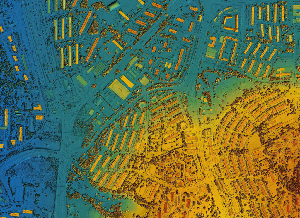
And speaking of formats, point clouds got mentioned almost everywhere I went. Stu Rich correctly referred to LiDAR as being a disruptive technology in his GITA writeup. A similar theme was present on the floor of last year’s Autodesk University and a lot of my hallways discussions at the Oracle conference involved the point cloud Oracle spatial data type, and managing the storage, display, and application of this data.
With the LiDAR tsunami coming, the world is suddenly awash with data. The cost of collecting LiDAR point clouds continues to drop dramatically and the data volumes that these new sensors provide is staggering. The raw sizes present serious challenges for software vendors on how to handle the sheer volume as well as to analysts on how to make sense of this very accurate data which is already seriously altering the craft of field data collection.
So I’m anxious to ask — how is LiDAR disrupting your workflows? Is it off in the future, or old hat by now, or just too darn voluminous to be useful?
Drop me a comment, I’d love to hear your perspective.


