This work was done in collaboration with Safe Software partner Locus.
Improving flood visibility and emergency readiness after Cyclone Gabrielle
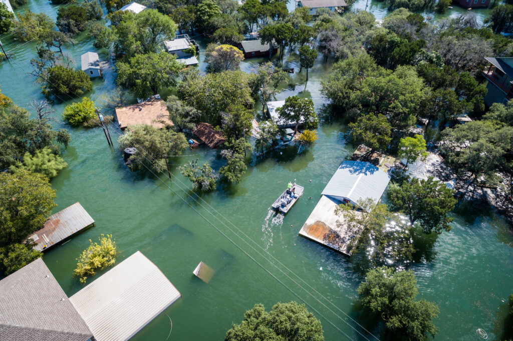
In February 2023, when Cyclone Gabrielle struck New Zealand’s North Island, communities across Hawke’s Bay experienced devastating flooding and widespread infrastructure damage. In the aftermath, Heretaunga Hastings District Council (HDC) faced an urgent challenge: restoring confidence in the region’s ability to monitor waterways, manage risk, and respond quickly during future weather events.
For Mark Coetzee, Team Leader GIS and Information Intelligence, alongside colleagues Darren de Klerk (Deputy Group Manager & Director Infrastructure Delivery), Emma Kay (Marketing and Engagement Advisor), and Kate Boersen (Illuminate Science), rebuilding trust required a system built around three principles: simplicity, speed, and reliability.
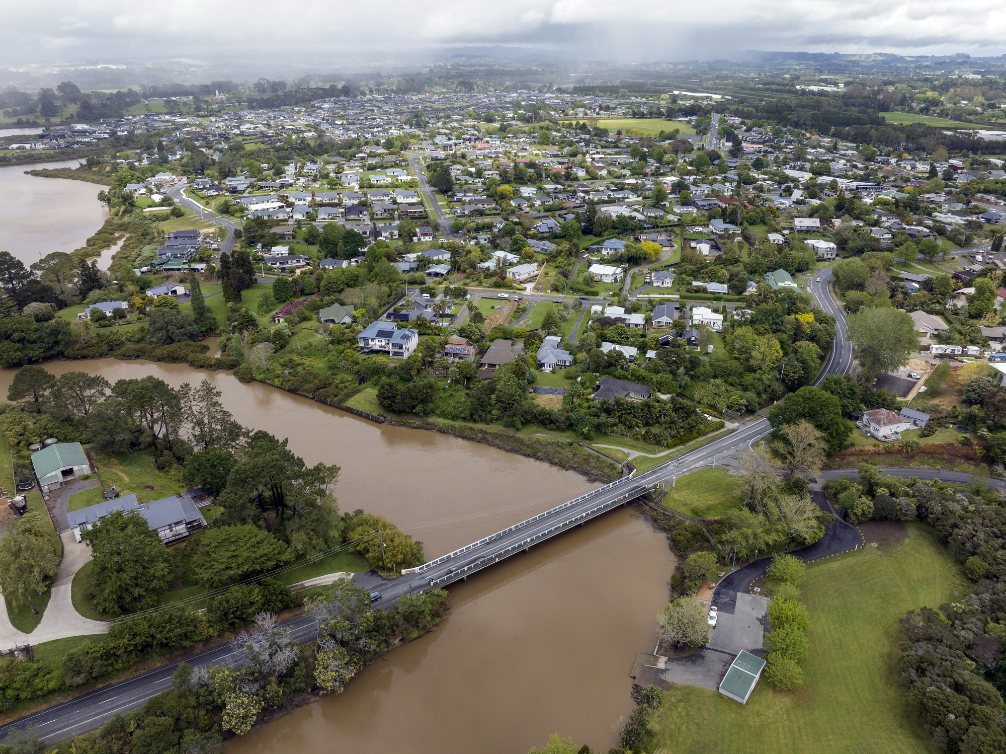
Protecting communities such as Havelock North meant monitoring dam and stream conditions in near real time. However, the data required to support those decisions was fragmented across multiple disconnected systems. Industrial SCADA telemetry, IoT sensor networks, and external weather forecasting services all generated valuable information, but each used different formats, protocols, and delivery methods.
To support the Havelock North Streams Management Strategy Project, HDC needed a way to unify these systems into a single, trusted operational view.
Unifying telemetry, IoT, and weather data with FME
To bridge the gap between raw data and actionable insight, HDC turned to FME as the integration and orchestration layer across its monitoring environment.
Using FME, the GIS team built automated workflows that connect to SCADA systems, Adroit IoT APIs, and external weather forecasting services such as the European Centre for Medium-Range Weather Forecasts (ECMWF). FME handles authentication, ingests complex JSON payloads, extracts rainfall forecast data, and standardizes information from each source into a consistent structure.
The workflows automatically convert raw sensor readings into accurate water level measurements that staff can easily understand and trust. FME then compares those readings against predefined risk thresholds and assigns simple status indicators such as “Normal,” “Above Level 3,” or “Above Level 4,” helping operators quickly assess changing conditions during severe weather events.
Delivering trusted, real-time operational awareness
Prior to implementing FME, operators were required to manually monitor multiple systems and piece together information during critical moments. Now, telemetry, sensor readings, and weather forecasts are consolidated into a single trusted data feed.
Standard telemetry updates refresh every 30 minutes, while critical dam monitoring accelerates to a 15-minute cycle during heavy rainfall events. Although operational alerting is managed through a separate system, FME ensures the data driving those decisions remains accurate, calibrated, and reliable.
Because the workflows could be rapidly prototyped and deployed, HDC delivered a mission-critical monitoring system far more quickly than would have been possible through traditional custom development.
The result is a live ArcGIS Enterprise Dashboard that acts as a centralized operational view for staff. Real-time gauges and trend graphs provide clear visibility into stream and dam behaviour, allowing operators to assess risk quickly and respond with confidence.
Creating a scalable foundation for future resilience
By automating the integration of SCADA telemetry, IoT sensors, and weather-forecasting data, HDC transformed disparate information streams into a unified, real-time operational view.
The project not only improved operational efficiency and reduced manual monitoring effort, but also helped strengthen public confidence in council systems following one of the region’s most disruptive natural disasters.
With FME at the core of the workflow, HDC now has a scalable, adaptable framework for environmental monitoring, one that delivers clarity, speed, and trusted information when communities need it most.