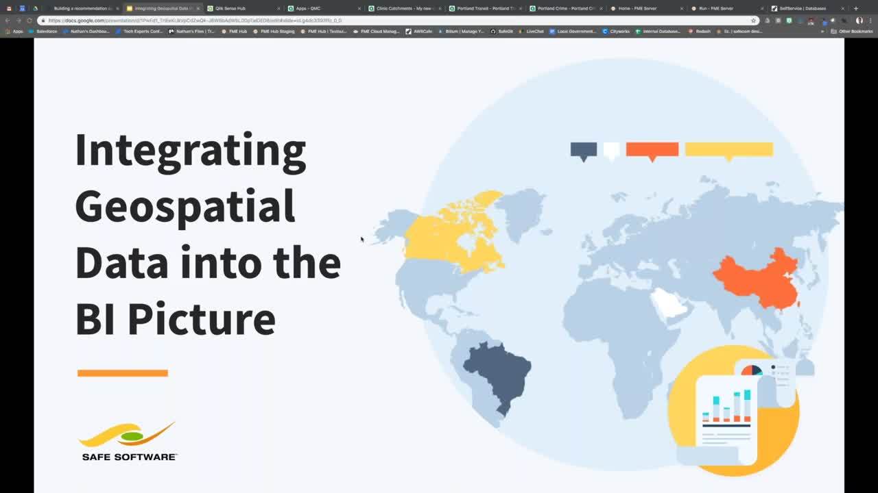
Integrating Geospatial Data into the BI Picture
Webinar Details
It’s a well-known mantra, location, location, location. We feel the same way when it comes to data, and many businesses do too! Organizations are increasingly interested in bringing geospatial (location) data into business intelligence tools to gain valuable insights and make better decisions.
Find out how it’s done in this webinar by Safe Software, the makers of FME, the data integration platform with the best support for geospatial data worldwide. We’ll start off with some basics and then jump into an example so you can see first-hand how you can bring geospatial data into your business intelligence tools.
FME enables you to harness the power of data integration by combining data from databases, static files, big data, and data feeds – including location data. Whether you’re using PowerBI, Qlik, SAP HANA, Tableau, or any other tool, FME was designed to solve integration and geospatial data challenges.

