LiDAR Technology Behind the Hunger Games Arena


If you tuned into the 75th Hunger Games, you’re aware that The Capitol required extremely precise knowledge about the arena landscape. At any given moment, they needed to know where each person was located, and the state of every square centimetre in the arena. So how did they design the arena? How did they get notifications telling them where each tribute was located?
Remote sensors, of course. Traditionally, LiDAR is helpful in many industries for creating topographical maps with information about the terrain in precise detail. Every point gathered by a LiDAR scan has associated data. FME’s flexible point cloud processing abilities, combined with FME Server’s notification service for real-time data, were perfect for The Capitol’s requirements.
So, in 2013, Safe Software and Panem partnered to design the arena for the 75th Hunger Games.
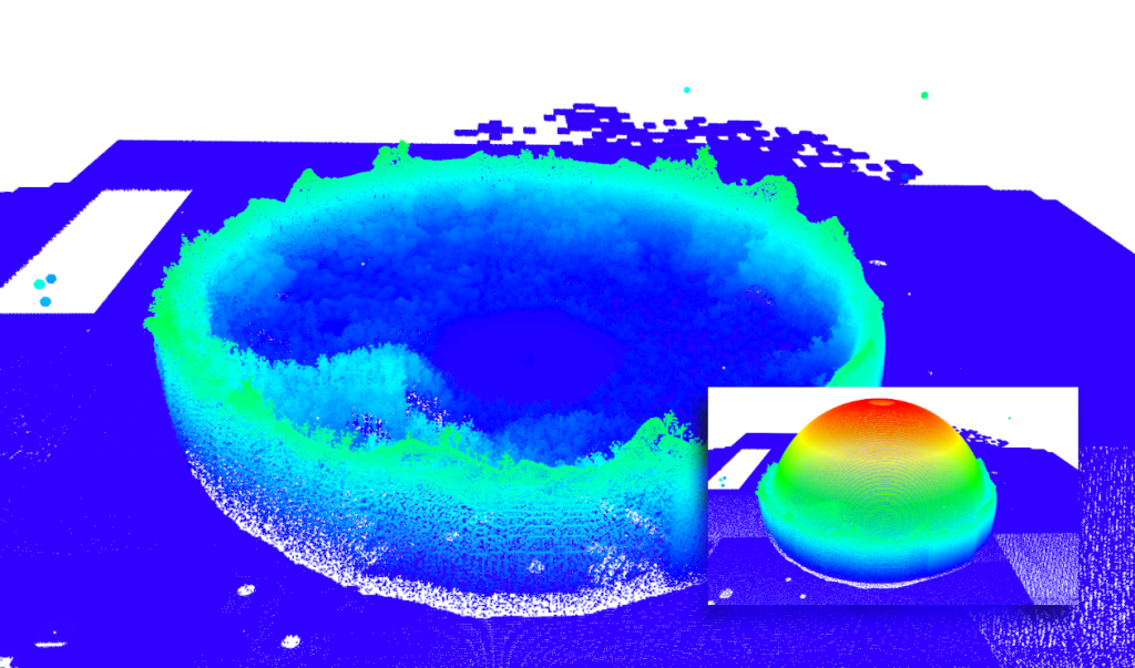
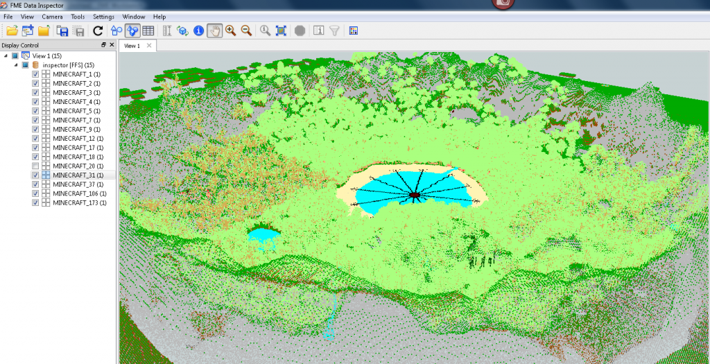
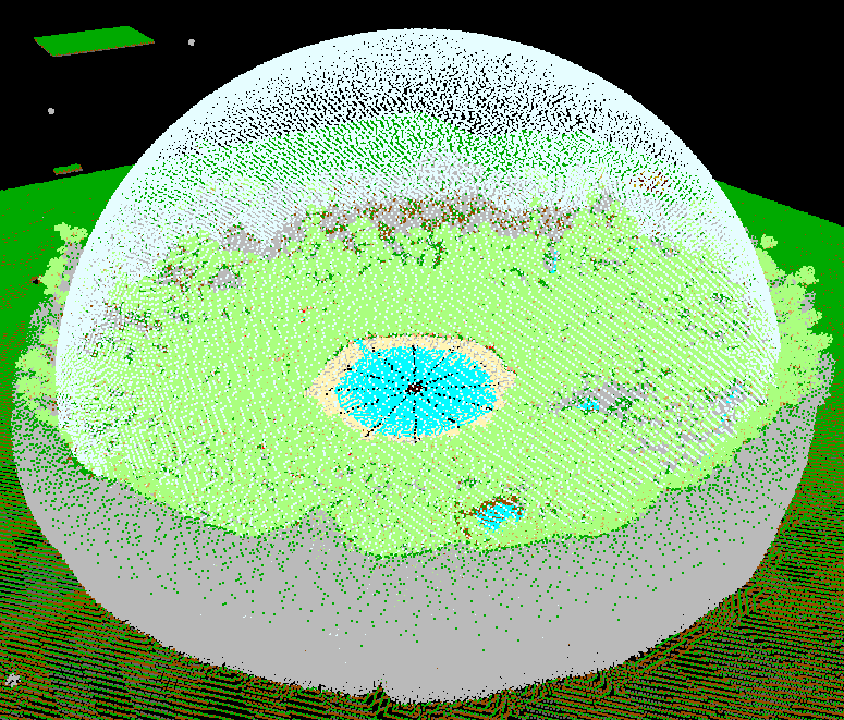
Ok, not really. FME has no involvement with fictional evil dictators. But in the spirit of today’s release of the third Hunger Games movie, we did find a great fan-made Minecraft world of the Hunger Games arena, and we did process it using FME. The resulting point cloud is pretty cool. You can zoom around a high-resolution 3D map and immerse yourself in the arena. On inspection, each XYZ data point reveals information about the landscape at that precise location.
In our opinion, point clouds would be the obvious choice for The Capitol’s information-intensive map of a Hunger Games arena. In fact, FME Server’s ability to respond to events and trigger actions in real time would be perfect for tracking the tributes and sending sponsor gifts.
How to convert a Minecraft world to a point cloud
To create this arena, our Scenario Creation and Testing Analyst, Dmitri, created an FME Workspace that converts Minecraft to LAS.

After reading in the Minecraft world as a .dat file, the workspace splits the blocks into many point clouds based on the blockID (i.e. the block type). The “Colorize” custom transformer then sets the point cloud RGB components to the corresponding block color values.

It then writes out to LAS. The resulting point cloud is just over 300 MB in size and contains almost 12 million points.

Watch last week’s webinar recording to learn more about FME’s point cloud technology, including a Minecraft demo.
Try It
Thanks to Minecraft user SwipeShotTeam for making this data possible.
Download this zip file to play with the LiDAR data yourself. Open the .las file in the FME Data Inspector or another point cloud inspection application (like plas.io) to fly around the arena. Notice anything strange? Secret outlying structures? The hole in the top of the dome? Peculiar … very peculiar …
See what you can do with it. Perhaps you can find interesting ways to modify the point cloud and write it back to Minecraft.
If you have any fun datasets like this (Hogwarts, anyone?), please share it with us!
Happy Hunger Games! And may the odds be ever in your favor.


