
Video Georeferencing
How it works
Press “PLAY” in the top-right corner of the demo to watch the video on the map.
Overview
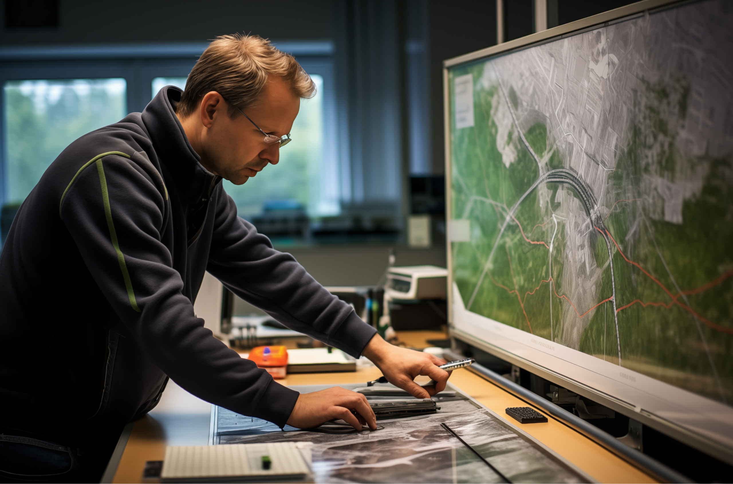
Create videos out of spatial imagery to show how land cover has changed. Integrating videos with maps is a great way to share detailed, visual information in the context of location.
Build This Demo Yourself! Turn this FME demo into reality at your organization. Follow the steps in our tutorial and use the files in GitHub.
Non-profit, teacher or student?
We have Free Licenses available to help jump start careers or support your learning, research and charity.
See If You Qualify
Questions about the platform?
We love questions, discussions, and providing demos to help you get started on or to continue your data integration journey.
Contact Us
Join the FME Community
Our growing community has a wealth of FME knowledge with over 20,000 active members worldwide, where you’ll find everything from support to training.
Explore the Community